Free camping in Arizona
53 places on public land — 32 set campsites and 21 open areas you can camp anywhere within. 41 are confirmed free.
No state on this site changes as much as Arizona. The lowest place here is not far above sea level. The highest is above 9,000 feet. In the low desert you can camp in comfort in January. In the high pine forest you cannot. They are the same state. Look at the height of a site before you decide what to pack.
The high country is the Apache-Sitgreaves forest and the pine woods around Flagstaff, underneath the San Francisco Peaks. A couple of sites are close enough that the mountain is simply the view from where you sleep. The low country is desert along the Colorado River and across the southern basins. That is winter camping, and it is at its best in the months when the northern states are shut.
It is also the easiest state here for supplies. Most sites are under half an hour from fuel and a shop, and very few are truly remote. The groups of sites are small, though. Arizona suits a trip with several stops. It is not a state where you settle into one spot and keep coming back.
Going to see something famous?
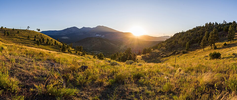
Arizona has the fewest famous sights near this camping. The exception is Flagstaff. The San Francisco Peaks rise straight out of the pine forest north of the town, and there is free camping close to them. Humphreys Peak, the highest point in Arizona, is one of those peaks. East of there the land flattens out, and Meteor Crater sits on its own in the desert.
- Humphreys Peak 2 places within 60 miles Closest is Wing Mountain Dispersed Camping, about 10 miles away
- Meteor Crater 2 places within 60 miles Closest is Wing Mountain Dispersed Camping, about 50 miles away
- Mount Graham 3 places within 60 miles Closest is Gila Box Riparian National Conservation Area, about 50 miles away
Important Note: Distances are along the road and rounded. Each landmark is pinned to a single point on the map. With a big park that point sits somewhere in the middle of it, so the entrance you actually drive to could be a fair bit closer than the number here.
Where in Arizona?
Pick a town to see only the places near it. They are grouped by the nearest town that has fuel and a shop, because that is the thing you plan a trip around. Places marked open area are public land where you can camp anywhere inside the boundary, and there are 21 of them here. There is no one set spot to aim for.
Eagar 5
Closest town with fuel and a shop, about 4,438 people. These places are 25 to 55 road miles from it, closest first.
Morenci 5
Closest town with fuel and a shop, about 2,028 people. These places are 16 to 57 road miles from it, closest first.
Cienega Springs 3
Closest town with fuel and a shop, about 1,690 people. These places are 10 to 123 road miles from it, closest first.
Clifton 3
Closest town with fuel and a shop, about 3,815 people. These places are 24 to 28 road miles from it, closest first.
 Free to camp
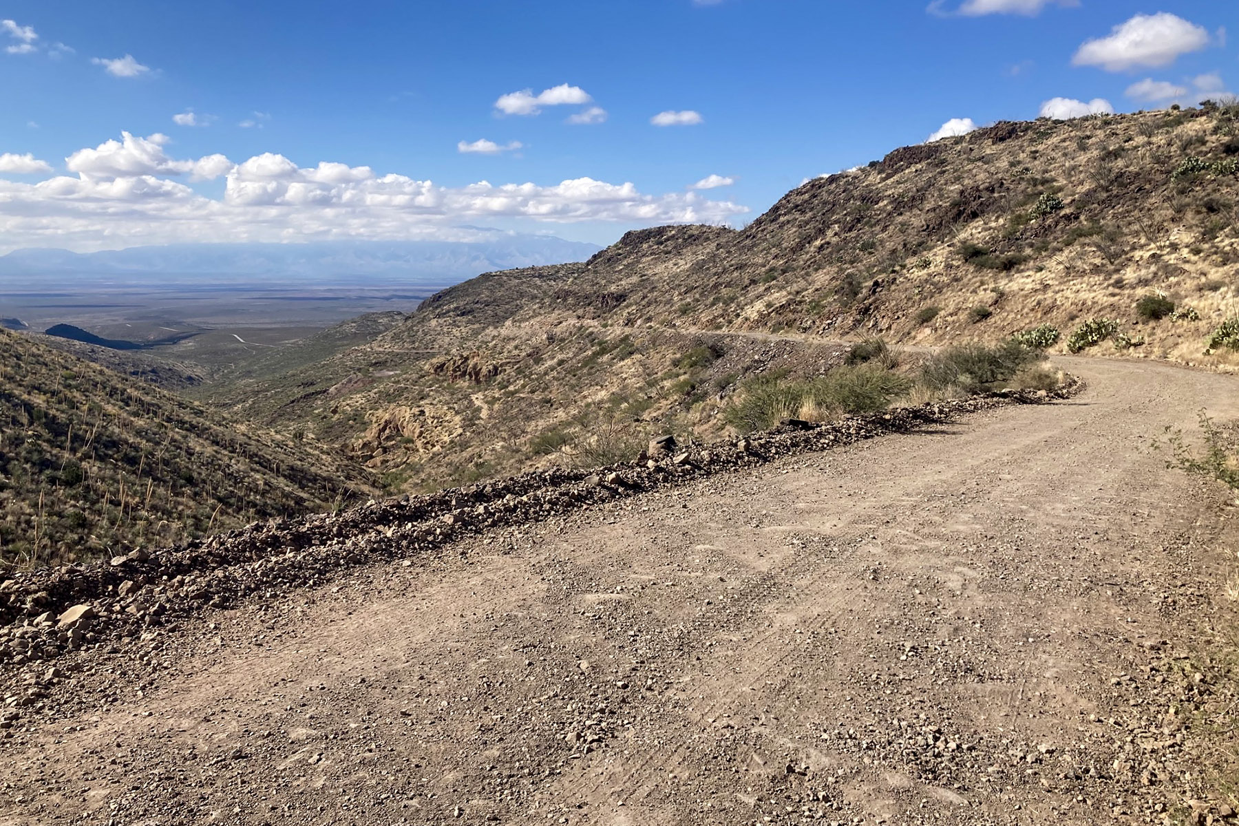
Black Hills Back Country Byway
25 miles to Clifton
3,812 ft above sea level · open area
Free to camp
Black Hills Back Country Byway
25 miles to Clifton
3,812 ft above sea level · open area
Heber-Overgaard 3
Closest town with fuel and a shop, about 2,898 people. These places are 21 to 33 road miles from it, closest first.
Dolan Springs 2
Closest town with fuel and a shop, about 1,734 people. These places are 0 to 26 road miles from it, closest first.
Kearny 2
Closest town with fuel and a shop, about 1,898 people. These places are 17 to 27 road miles from it, closest first.
Kingman 2
Closest town with fuel and a shop, about 35,383 people. These places are 9 to 33 road miles from it, closest first.
Maricopa 2
Closest town with fuel and a shop, about 76,654 people. These places are 33 to 44 road miles from it, closest first.
Safford 2
Closest town with fuel and a shop, about 10,257 people. These places are 16 to 21 road miles from it, closest first.
Star Valley 2
Closest town with fuel and a shop, about 2,547 people. These places are 29 to 38 road miles from it, closest first.
Elsewhere in Arizona 22
Each of these is on its own. No other free camping we know of shares its nearest town.
 Camping fee unknown
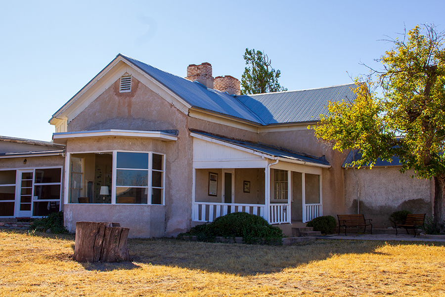
Las Cienegas National Conservation Area
24 miles to Corona de Tucson
4,823 ft above sea level · open area
Camping fee unknown
Las Cienegas National Conservation Area
24 miles to Corona de Tucson
4,823 ft above sea level · open area
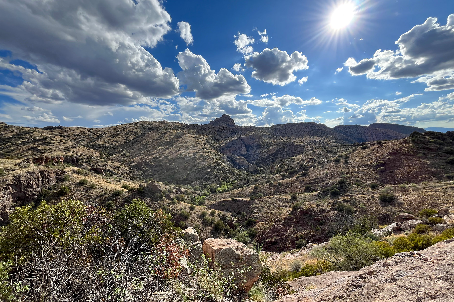 Free to camp
Redfield Canyon Wilderness
82 miles to San Manuel
4,269 ft above sea level · open area
Free to camp
Redfield Canyon Wilderness
82 miles to San Manuel
4,269 ft above sea level · open area