Free camping in Oregon
97 places on public land — 77 set campsites and 20 open areas you can camp anywhere within. 76 are confirmed free.
Oregon covers more height than any other state here. The lowest place on this page is 70 feet above the sea. The highest is close to 9,000 feet. That is the difference between a wet green morning under heavy trees and a bare volcanic ridge with the wind coming straight across it.
Most of the free camping is not in the Oregon people picture. It is out in the southeast, in high desert. The Fremont-Winema forest holds a large share of it. Most campers buy food and fuel in the small town of Lakeview. The mountains are the other reason to come. Mount Bachelor, Mount Jefferson and Mount Thielsen all have free camping within an easy drive. So does Steens Mountain, far out in the east, where one site sits less than a mile from the foot of it.
Oregon is the easiest state here to plan a trip in. More than three quarters of its sites are confirmed free, and most are around half an hour from a shop. There is a lot of water, too. Fishing and boating come up more often here than anywhere except Idaho.
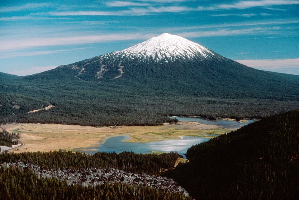
Going to see something famous?
Oregon’s famous places are nearly all volcanoes. They run in a line down the middle of the state. Crater Lake fills the top of one that fell in on itself. Mount Hood, Mount Jefferson, Mount Bachelor and Mount Thielsen stand along the same line. Steens Mountain is the odd one out. It is a long ridge in the south-eastern desert, and one place on this page sits almost at its foot.
- Crater Lake 4 places within 60 miles Closest is Corral Springs Campground, about 40 miles away
- Mount Hood 2 places within 60 miles Closest is Sandy Wild and Scenic River, about 45 miles away
- Mount Bachelor 6 places within 60 miles Closest is Crater Creek Ditch, under 5 miles away
- Mount Jefferson 5 places within 60 miles Closest is Lakes End Campground, about 35 miles away
- Mount Thielsen 4 places within 60 miles Closest is Corral Springs Campground, about 35 miles away
- Mount McLoughlin 5 places within 60 miles Closest is Odessa Picnic Site, about 25 miles away
- Steens Mountain 4 places within 60 miles Closest is Wildhorse Creek Wild and Scenic River, under 5 miles away
- Upper Klamath Lake 4 places within 60 miles Closest is Odessa Picnic Site, about 10 miles away
Important Note: Distances are along the road and rounded. Each landmark is pinned to a single point on the map. With a big park that point sits somewhere in the middle of it, so the entrance you actually drive to could be a fair bit closer than the number here.
Where in Oregon?
Pick a town to see only the places near it. They are grouped by the nearest town that has fuel and a shop, because that is the thing you plan a trip around. Places marked open area are public land where you can camp anywhere inside the boundary, and there are 20 of them here. There is no one set spot to aim for.
Lakeview 20
Closest town with fuel and a shop, about 2,418 people. These places are 2 to 69 road miles from it, closest first.
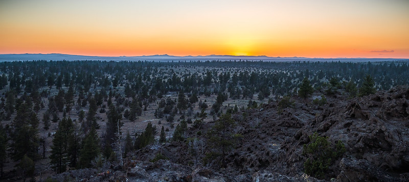 Partly free to camp
Lakeview
2 miles to Lakeview
4,756 ft above sea level
Partly free to camp
Lakeview
2 miles to Lakeview
4,756 ft above sea level
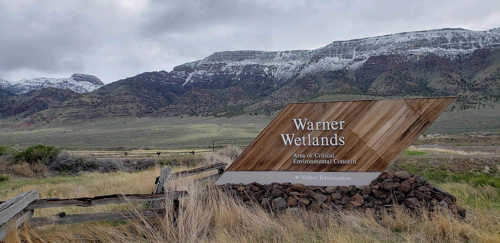 Free to camp
Warner Wetlands
46 miles to Lakeview
4,479 ft above sea level
Free to camp
Warner Wetlands
46 miles to Lakeview
4,479 ft above sea level
John Day 8
Closest town with fuel and a shop, about 1,641 people. These places are 15 to 56 road miles from it, closest first.
Joseph 7
Closest town with fuel and a shop, about 1,175 people. These places are 7 to 99 road miles from it, closest first.
La Pine 7
Closest town with fuel and a shop, about 2,566 people. These places are 26 to 67 road miles from it, closest first.
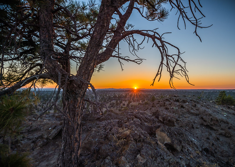 Free to camp
Christmas Valley Back Country Byway
61 miles to La Pine
4,323 ft above sea level · open area
Free to camp
Christmas Valley Back Country Byway
61 miles to La Pine
4,323 ft above sea level · open area
Hines 6
Closest town with fuel and a shop, about 1,621 people. These places are 52 to 108 road miles from it, closest first.
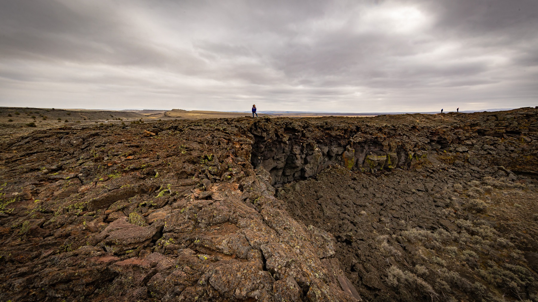 Free to camp
Diamond Craters Outstanding Natural Area
52 miles to Hines · 4,278 ft above sea level · 55 miles to Steens Mountain
Diamond Craters, an Outstanding Natural Area of 17,000 acres (23 square miles), has some of the most diverse basaltic volcanic features in the nation clustered within a small, accessible area.
Free to camp
Diamond Craters Outstanding Natural Area
52 miles to Hines · 4,278 ft above sea level · 55 miles to Steens Mountain
Diamond Craters, an Outstanding Natural Area of 17,000 acres (23 square miles), has some of the most diverse basaltic volcanic features in the nation clustered within a small, accessible area.
 Partly free to camp
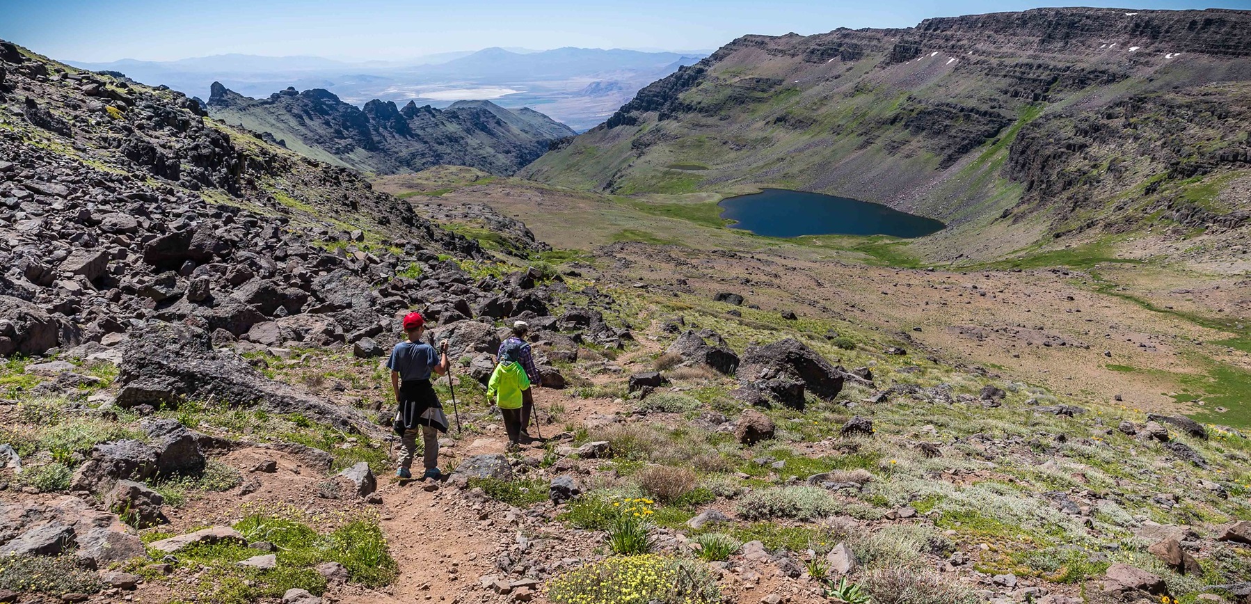
Steens Mountain Cooperative Management & Protection Area
54 miles to Hines
4,425 ft above sea level
Partly free to camp
Steens Mountain Cooperative Management & Protection Area
54 miles to Hines
4,425 ft above sea level
 Free to camp
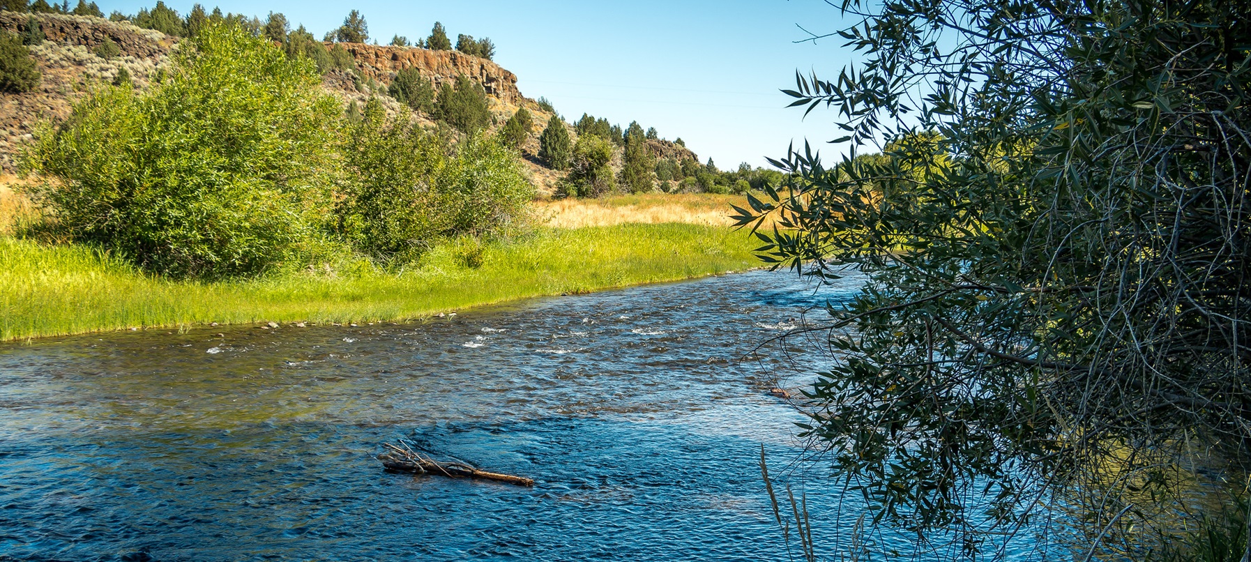
Donner und Blitzen Wild and Scenic River
82 miles to Hines
4,791 ft above sea level · open area
Free to camp
Donner und Blitzen Wild and Scenic River
82 miles to Hines
4,791 ft above sea level · open area
 Free to camp
Kiger Creek Wild and Scenic River
83 miles to Hines
8,898 ft above sea level · open area
Free to camp
Kiger Creek Wild and Scenic River
83 miles to Hines
8,898 ft above sea level · open area
 Free to camp
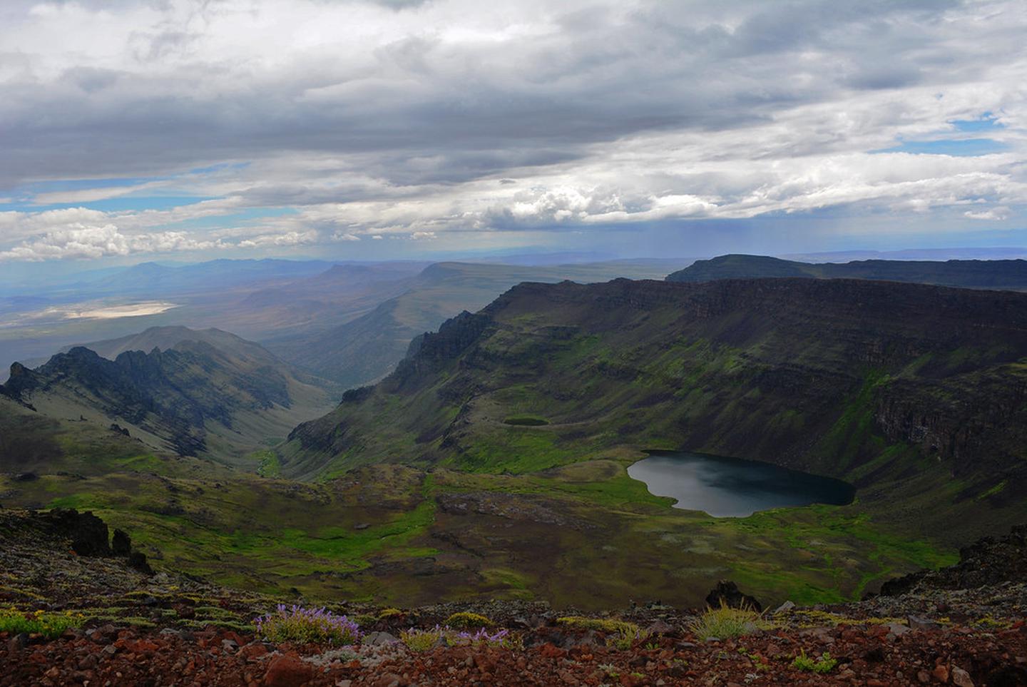
Wildhorse Creek Wild and Scenic River
87 miles to Hines
8,414 ft above sea level · open area
Free to camp
Wildhorse Creek Wild and Scenic River
87 miles to Hines
8,414 ft above sea level · open area
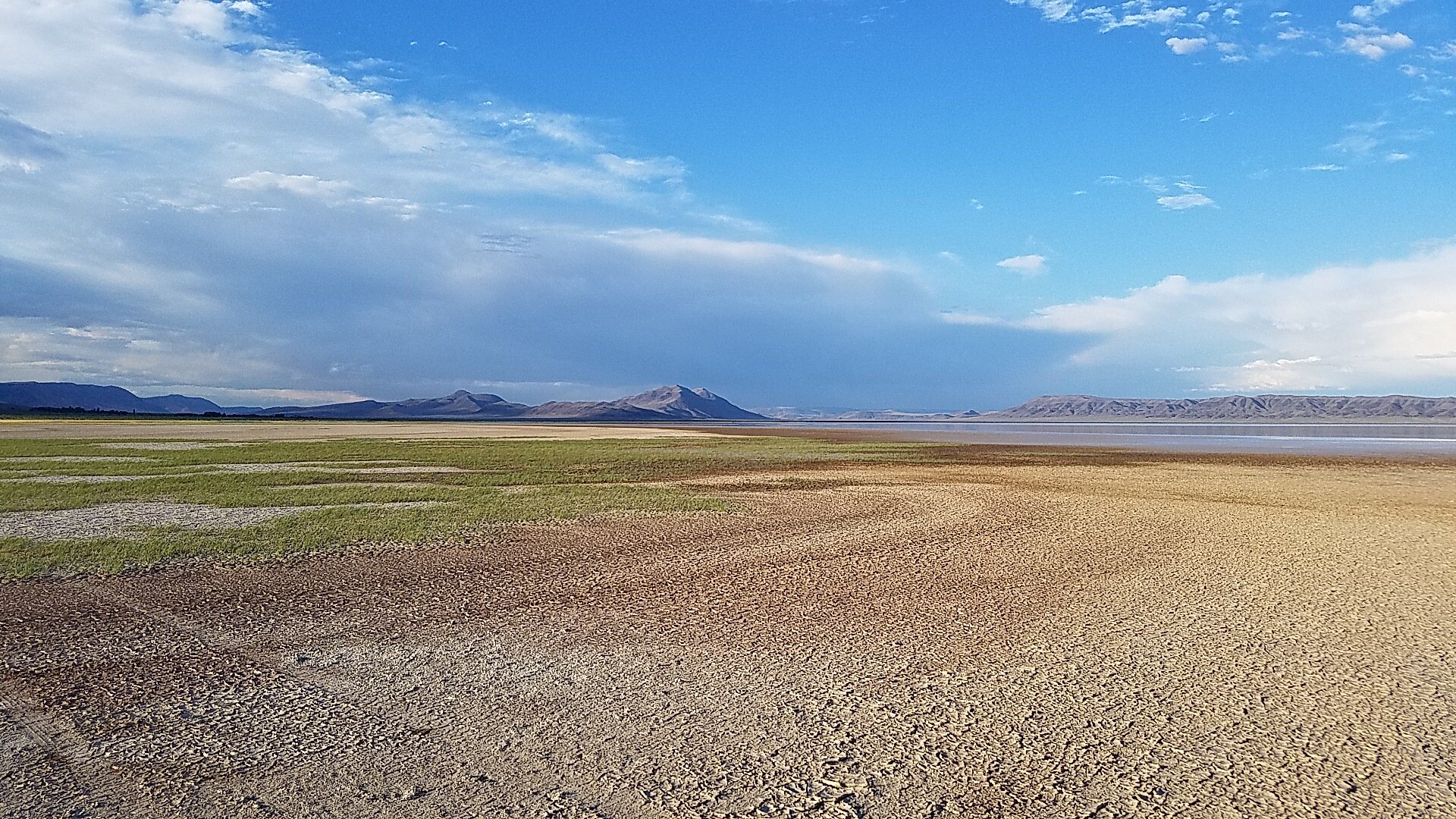 Free to camp
Alvord Desert
108 miles to Hines
4,192 ft above sea level
Free to camp
Alvord Desert
108 miles to Hines
4,192 ft above sea level
Ashland 3
Closest town with fuel and a shop, about 20,935 people. These places are 17 to 23 road miles from it, closest first.
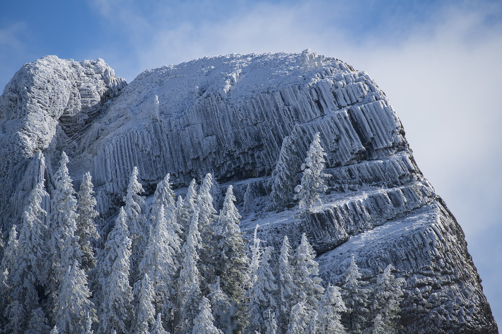 Camping fee unknown
Cascade-Siskiyou National Monument
17 miles to Ashland
4,046 ft above sea level · open area
Camping fee unknown
Cascade-Siskiyou National Monument
17 miles to Ashland
4,046 ft above sea level · open area
Glide 3
Closest town with fuel and a shop, about 1,805 people. These places are 8 to 13 road miles from it, closest first.
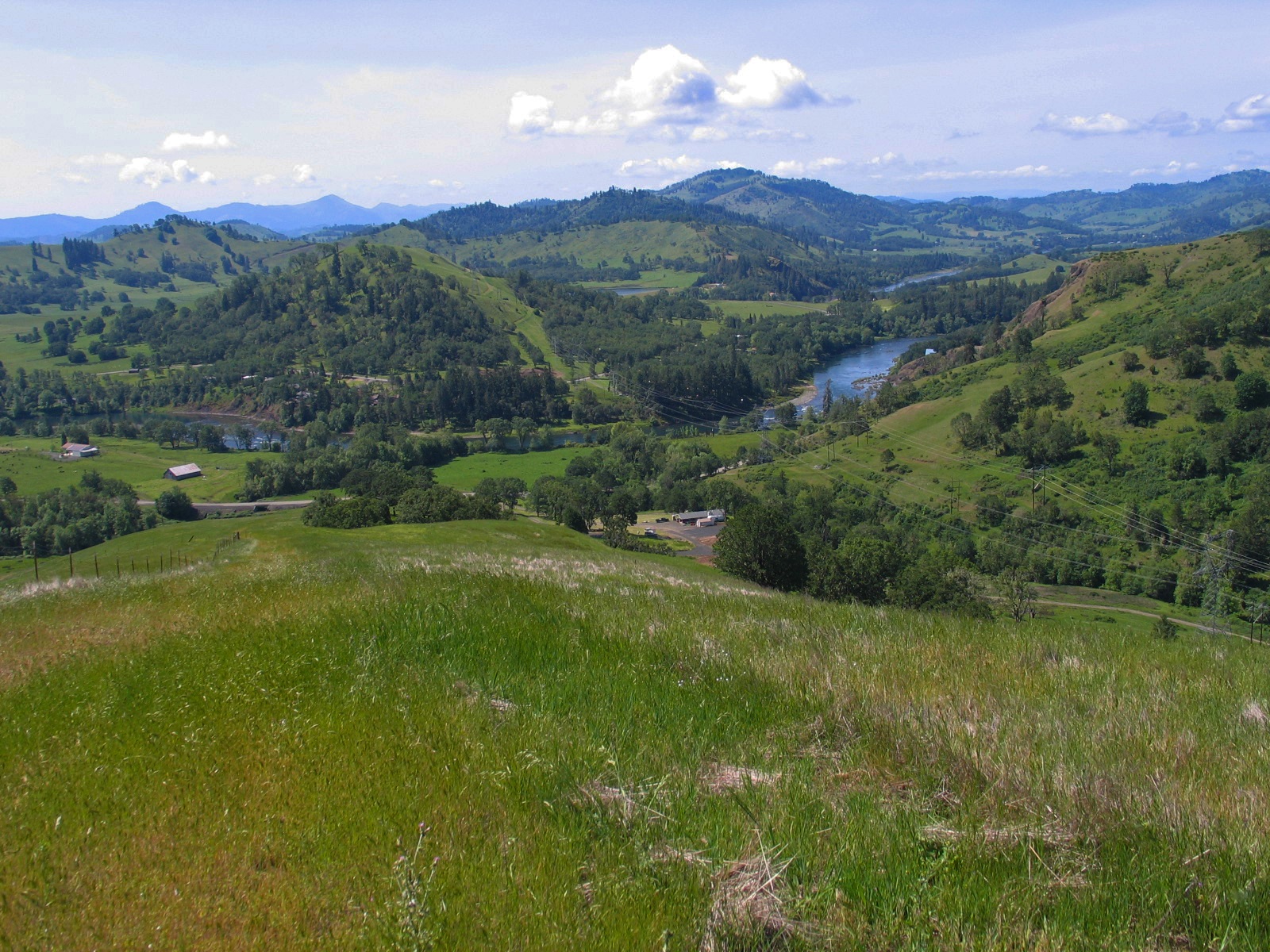 Free to camp
North Bank Habitat Management Area
9 miles to Glide · 714 ft above sea level · 50 miles to Bohemia Mountain
North Bank Habitat Management Area offers visitors the opportunity to hike, bike, and horseback ride on miles of roads and trails.
Free to camp
North Bank Habitat Management Area
9 miles to Glide · 714 ft above sea level · 50 miles to Bohemia Mountain
North Bank Habitat Management Area offers visitors the opportunity to hike, bike, and horseback ride on miles of roads and trails.
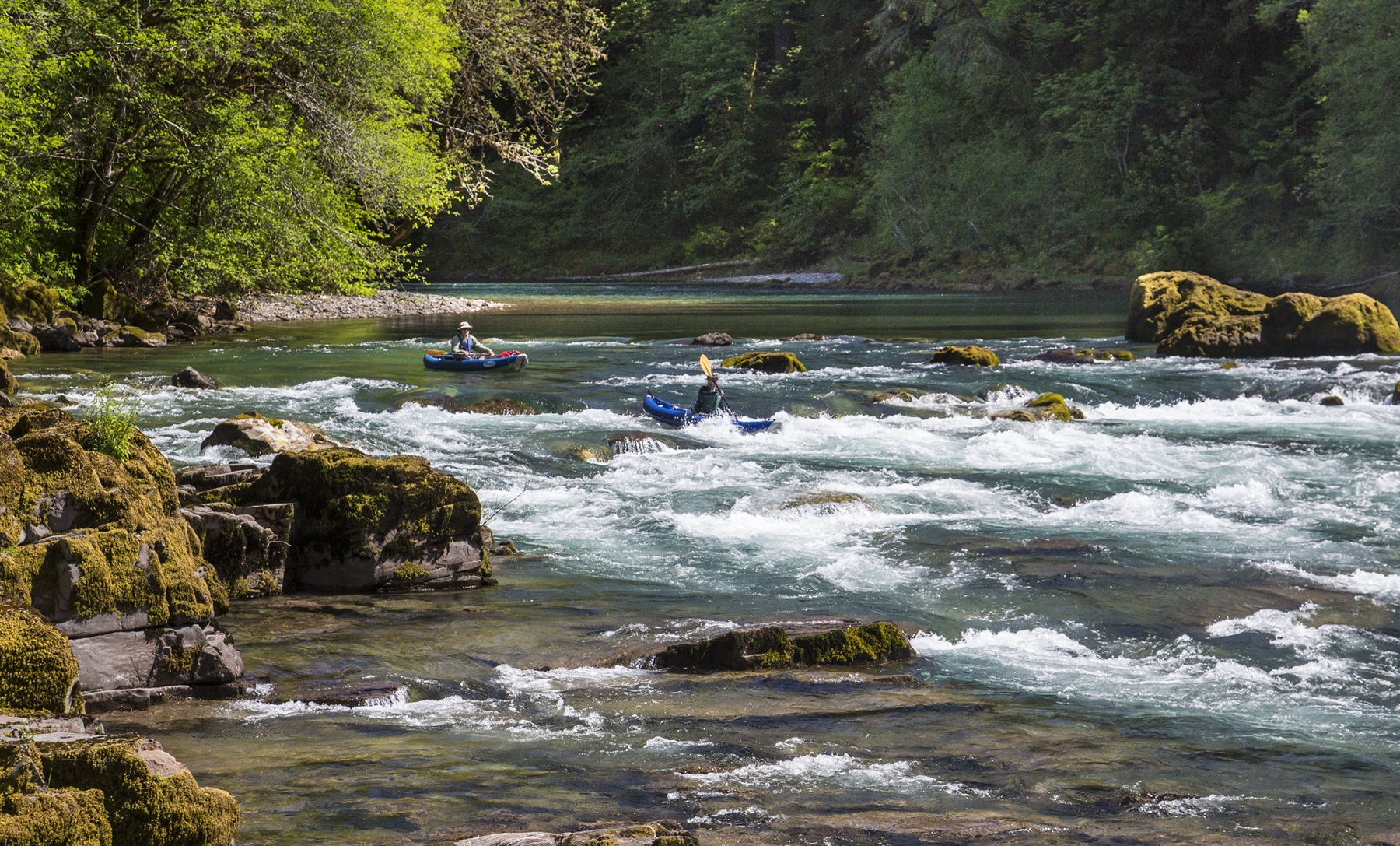 Camping fee unknown
North Umpqua Wild and Scenic River
8 miles to Glide
790 ft above sea level · open area
Camping fee unknown
North Umpqua Wild and Scenic River
8 miles to Glide
790 ft above sea level · open area
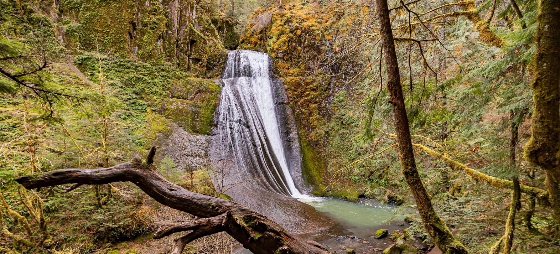 Camping fee unknown
Wolf Creek Recreation Area
13 miles to Glide
1,055 ft above sea level
Camping fee unknown
Wolf Creek Recreation Area
13 miles to Glide
1,055 ft above sea level
Klamath Falls 3
Closest town with fuel and a shop, about 22,174 people. These places are 26 to 58 road miles from it, closest first.
Mill City 3
Closest town with fuel and a shop, about 2,128 people. These places are 2 to 76 road miles from it, closest first.
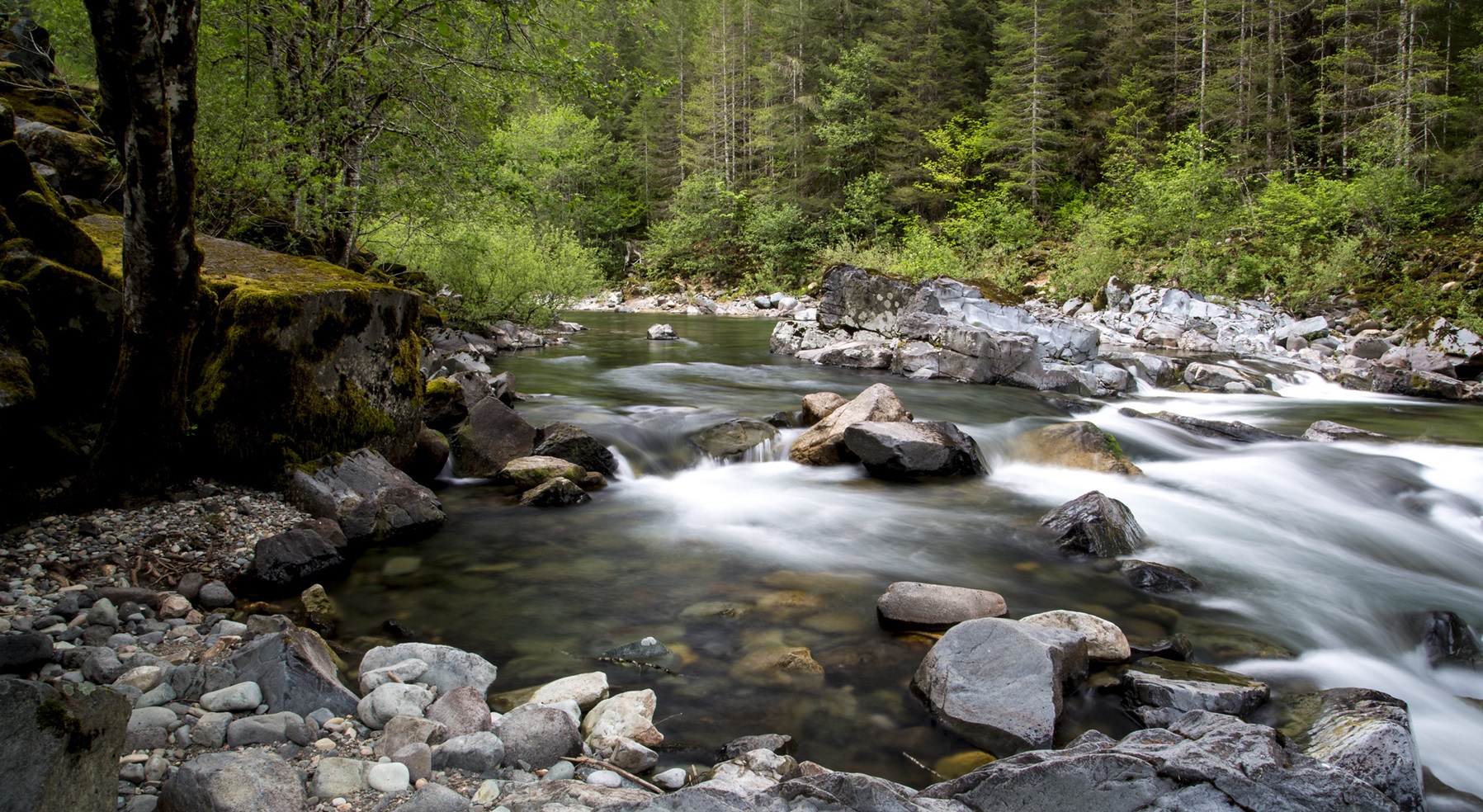 Camping fee unknown
Quartzville Creek Wild and Scenic River
44 miles to Mill City
1,310 ft above sea level · open area
Camping fee unknown
Quartzville Creek Wild and Scenic River
44 miles to Mill City
1,310 ft above sea level · open area
Dunes City 2
Closest town with fuel and a shop, about 1,414 people. These places are 51 to 55 road miles from it, closest first.
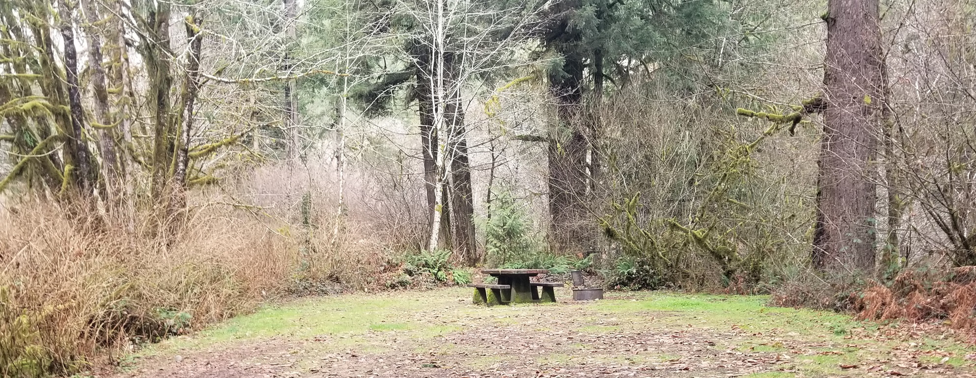
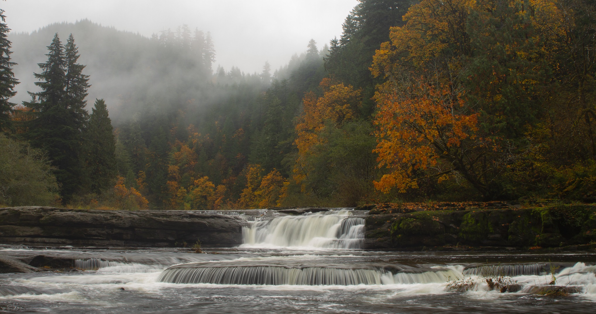
Elgin 2
Closest town with fuel and a shop, about 1,694 people. These places are 14 to 23 road miles from it, closest first.
Enterprise 2
Closest town with fuel and a shop, about 2,083 people. These places are 22 to 40 road miles from it, closest first.
Sisters 2
Closest town with fuel and a shop, about 2,957 people. These places are 4 to 37 road miles from it, closest first.
Sunriver 2
Closest town with fuel and a shop, about 2,023 people. These places are 23 to 27 road miles from it, closest first.
Veneta 2
Closest town with fuel and a shop, about 5,194 people. These places are 26 to 30 road miles from it, closest first.
Warm Springs 2
Closest town with fuel and a shop, about 2,435 people. These places are 66 to 94 road miles from it, closest first.
Elsewhere in Oregon 23
Each of these is on its own. No other free camping we know of shares its nearest town.
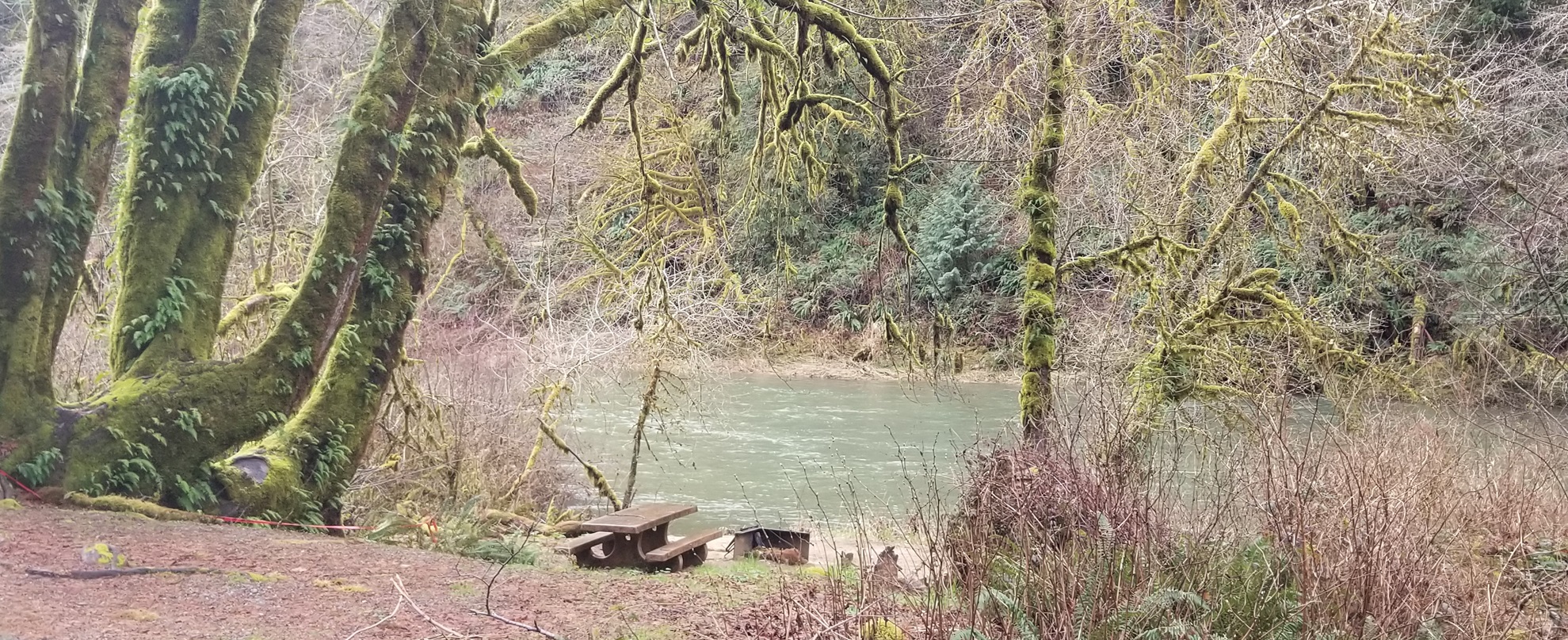 Free to camp
Fawn Creek Campground
26 miles to Reedsport
70 ft above sea level
Free to camp
Fawn Creek Campground
26 miles to Reedsport
70 ft above sea level
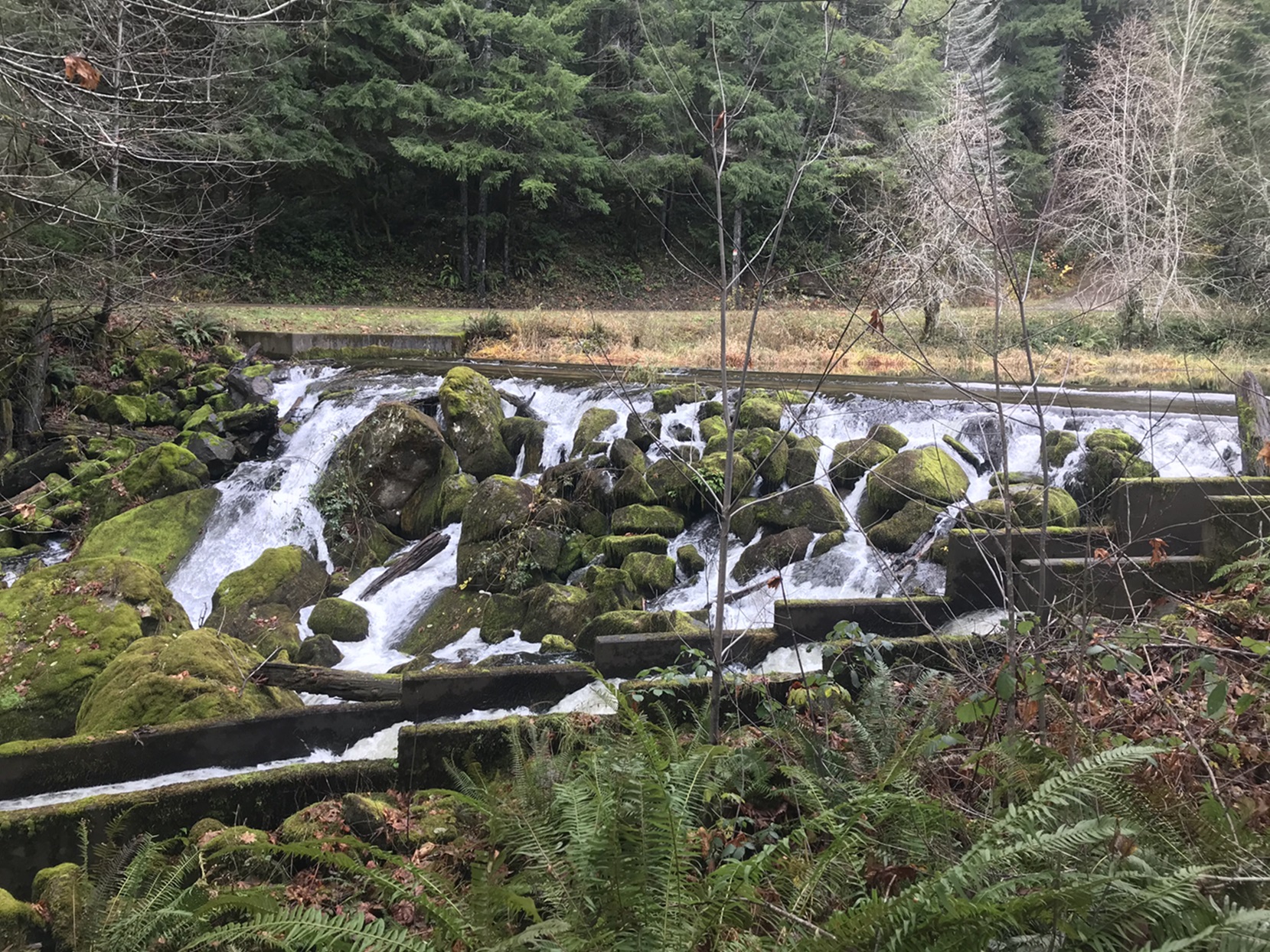 Free to camp
Hult Dam & Reservoir
28 miles to Junction City
803 ft above sea level
Free to camp
Hult Dam & Reservoir
28 miles to Junction City
803 ft above sea level
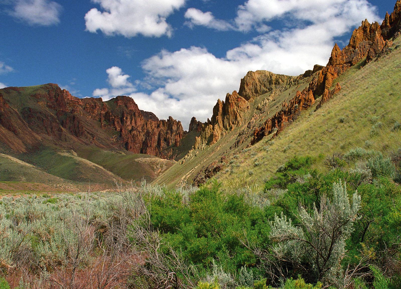 Camping fee unknown
Leslie Gulch Area of Critical Environmental Concern
48 miles to Homedale
3,425 ft above sea level
Camping fee unknown
Leslie Gulch Area of Critical Environmental Concern
48 miles to Homedale
3,425 ft above sea level
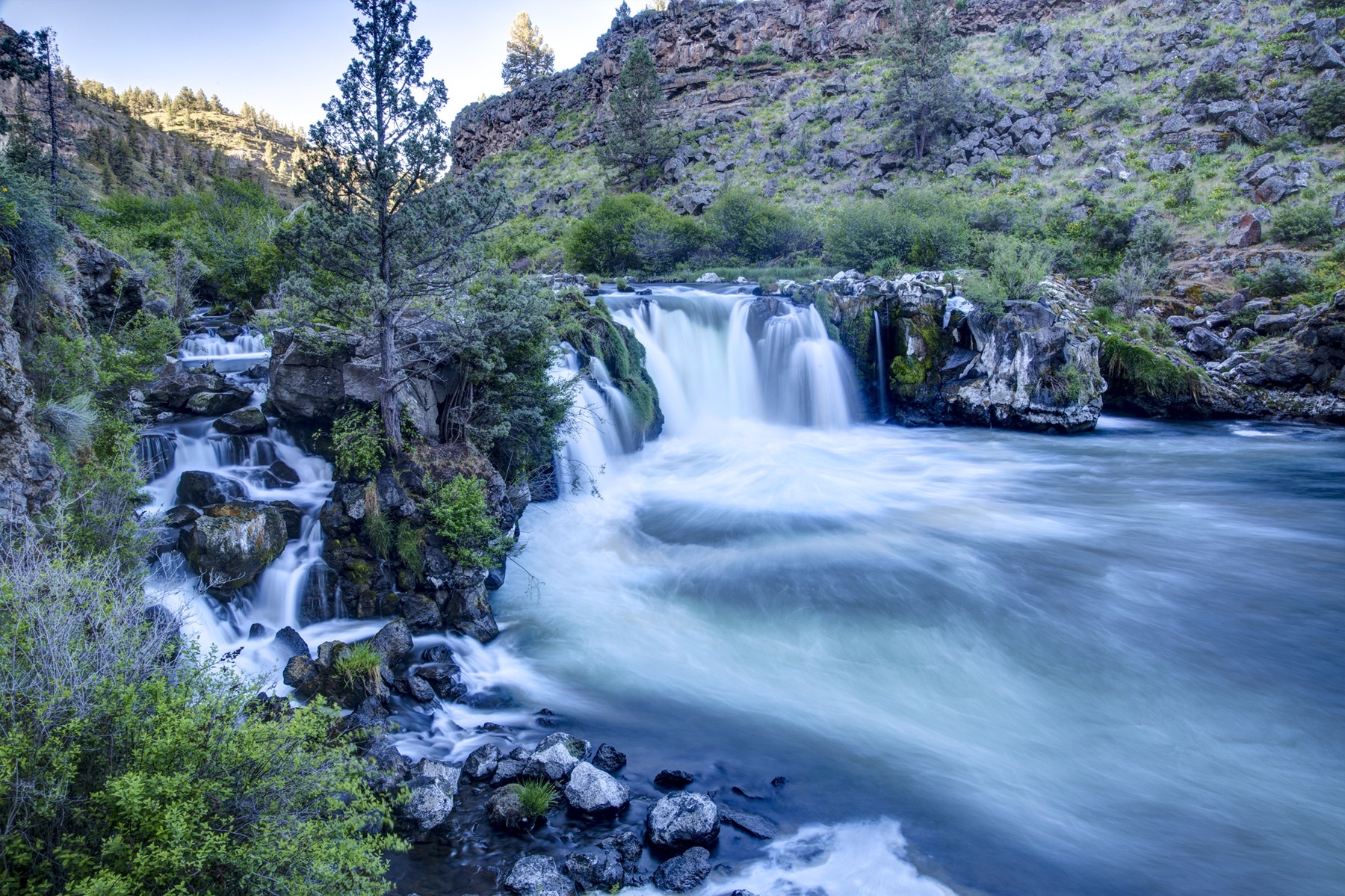 Camping fee unknown
Middle Deschutes Wild and Scenic River
5 miles to Terrebonne
2,577 ft above sea level · open area
Camping fee unknown
Middle Deschutes Wild and Scenic River
5 miles to Terrebonne
2,577 ft above sea level · open area
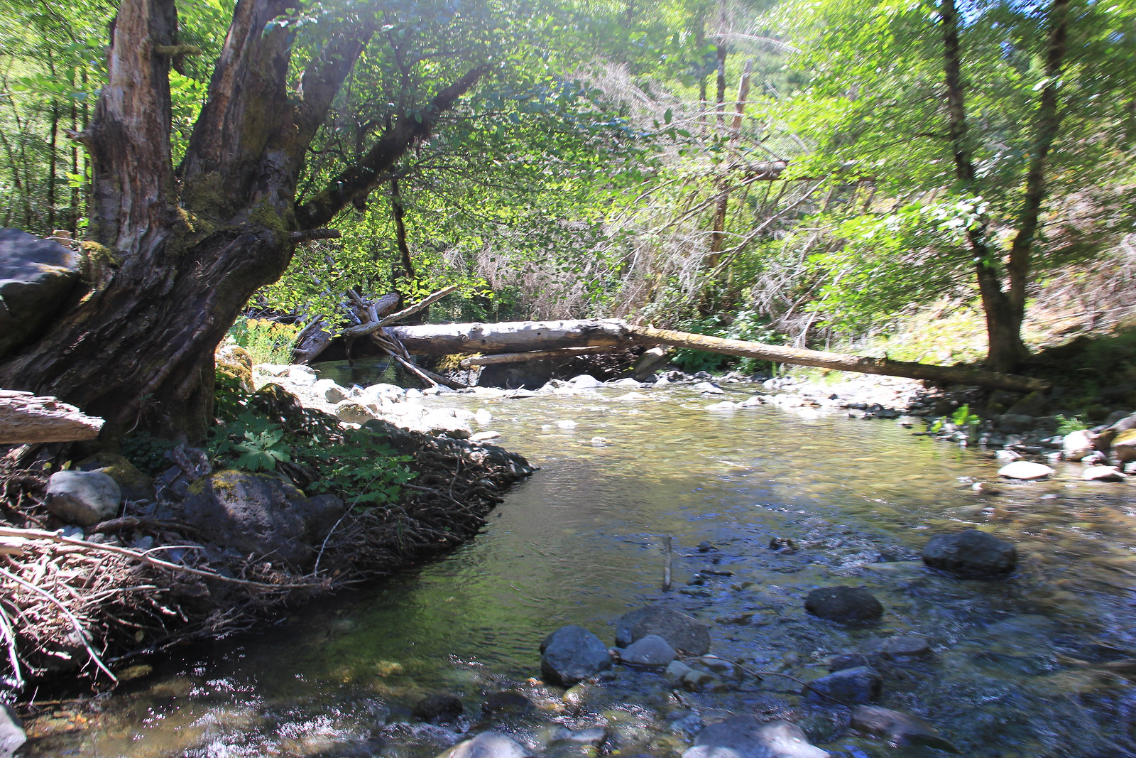 Free to camp
Mule Creek Trail
63 miles to Merlin
451 ft above sea level
Free to camp
Mule Creek Trail
63 miles to Merlin
451 ft above sea level
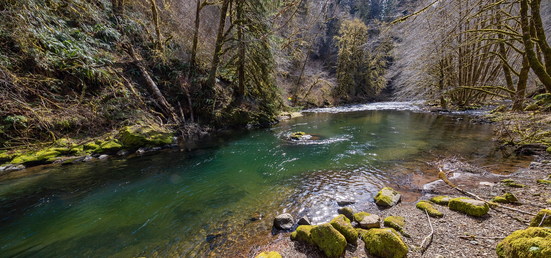 Camping fee unknown
Nestucca River Recreation Area
21 miles to Willamina
892 ft above sea level
Camping fee unknown
Nestucca River Recreation Area
21 miles to Willamina
892 ft above sea level
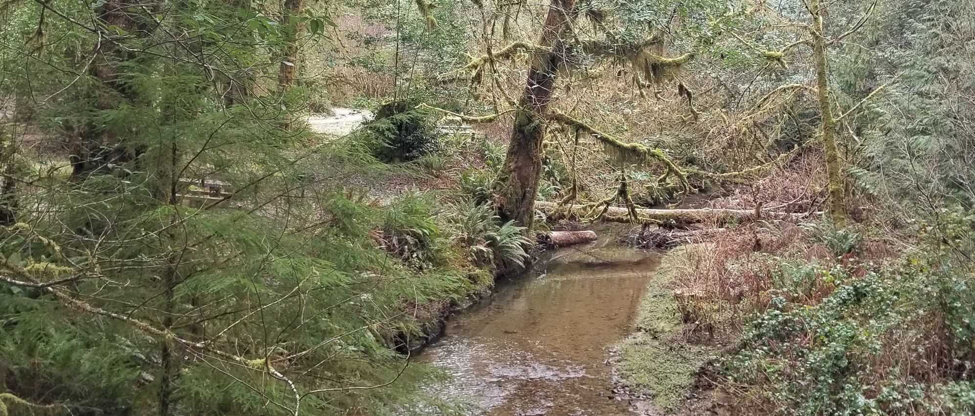 Free to camp
Park Creek Campground
24 miles to Coquille
490 ft above sea level
Free to camp
Park Creek Campground
24 miles to Coquille
490 ft above sea level
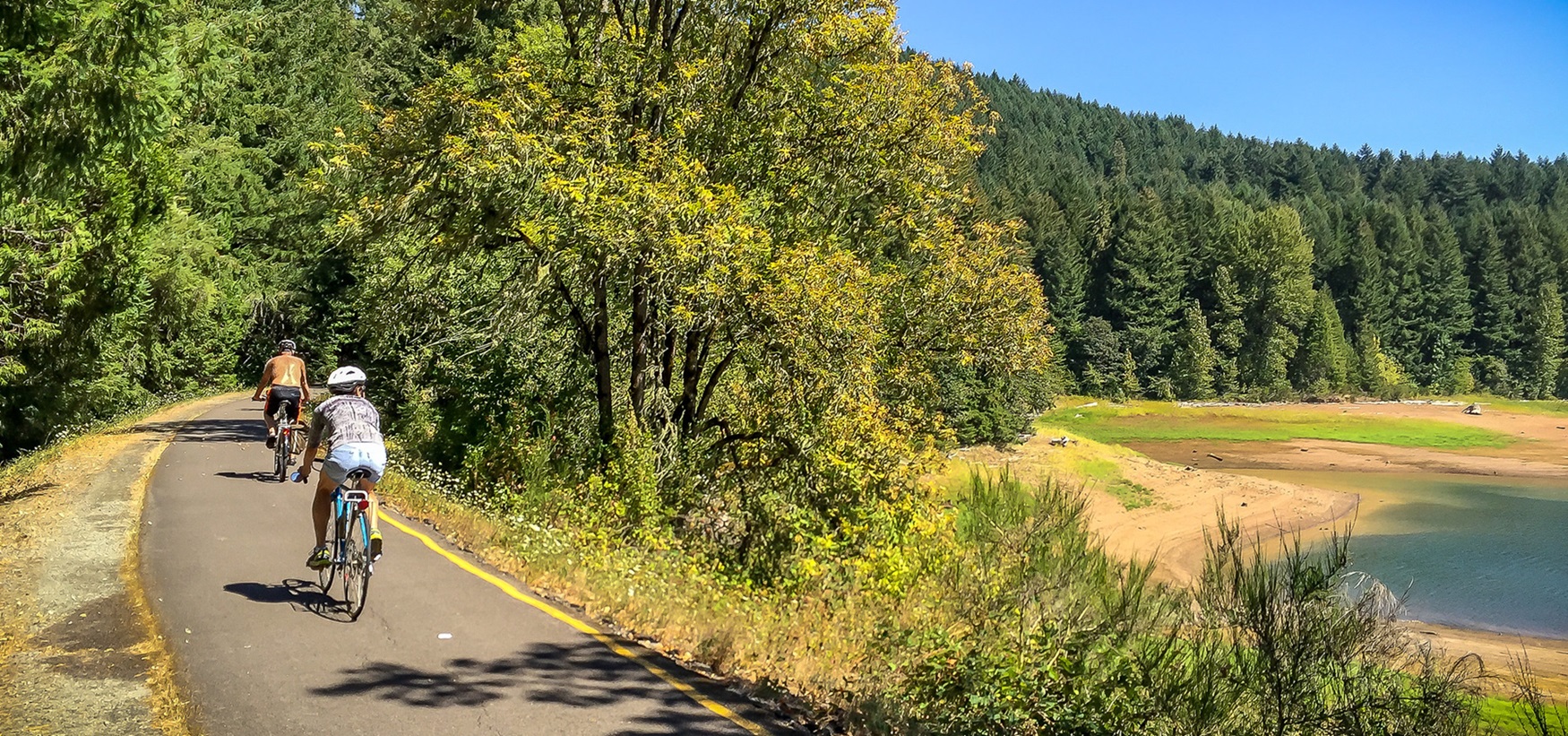 Camping fee unknown
Row River Trail
3 miles to Cottage Grove
688 ft above sea level
Camping fee unknown
Row River Trail
3 miles to Cottage Grove
688 ft above sea level
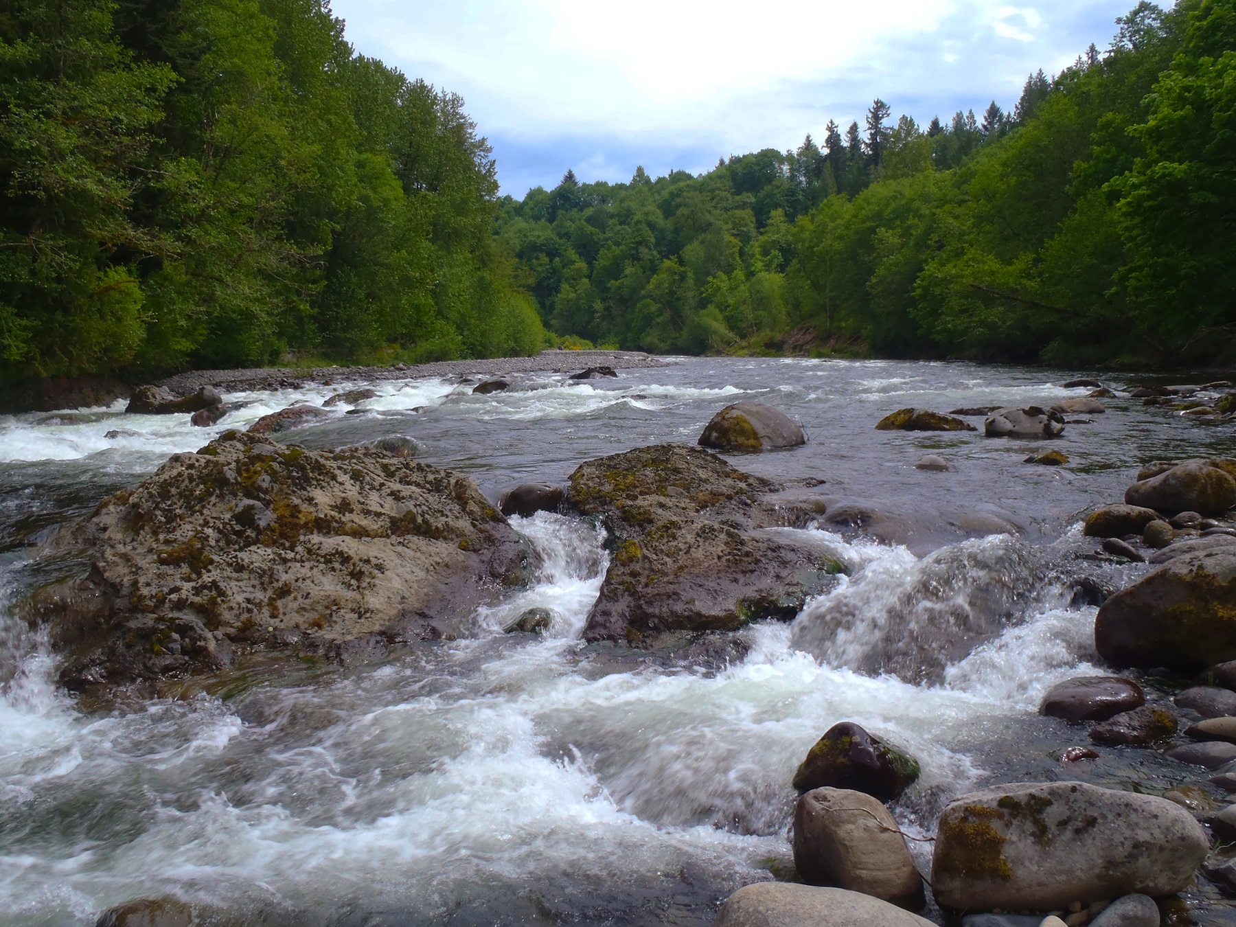 Free to camp
Sandy Wild and Scenic River
9 miles to Troutdale
120 ft above sea level · open area
Free to camp
Sandy Wild and Scenic River
9 miles to Troutdale
120 ft above sea level · open area
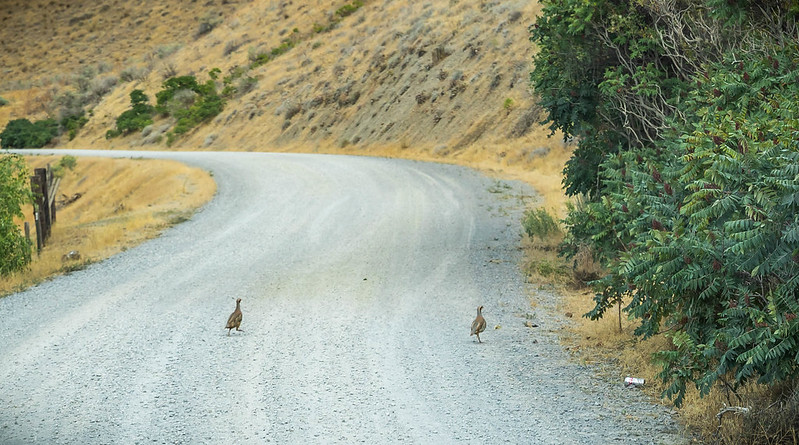 Free to camp
Snake River-Mormon Basin Back Country Byway
7 miles to Baker City
3,679 ft above sea level · open area
Free to camp
Snake River-Mormon Basin Back Country Byway
7 miles to Baker City
3,679 ft above sea level · open area
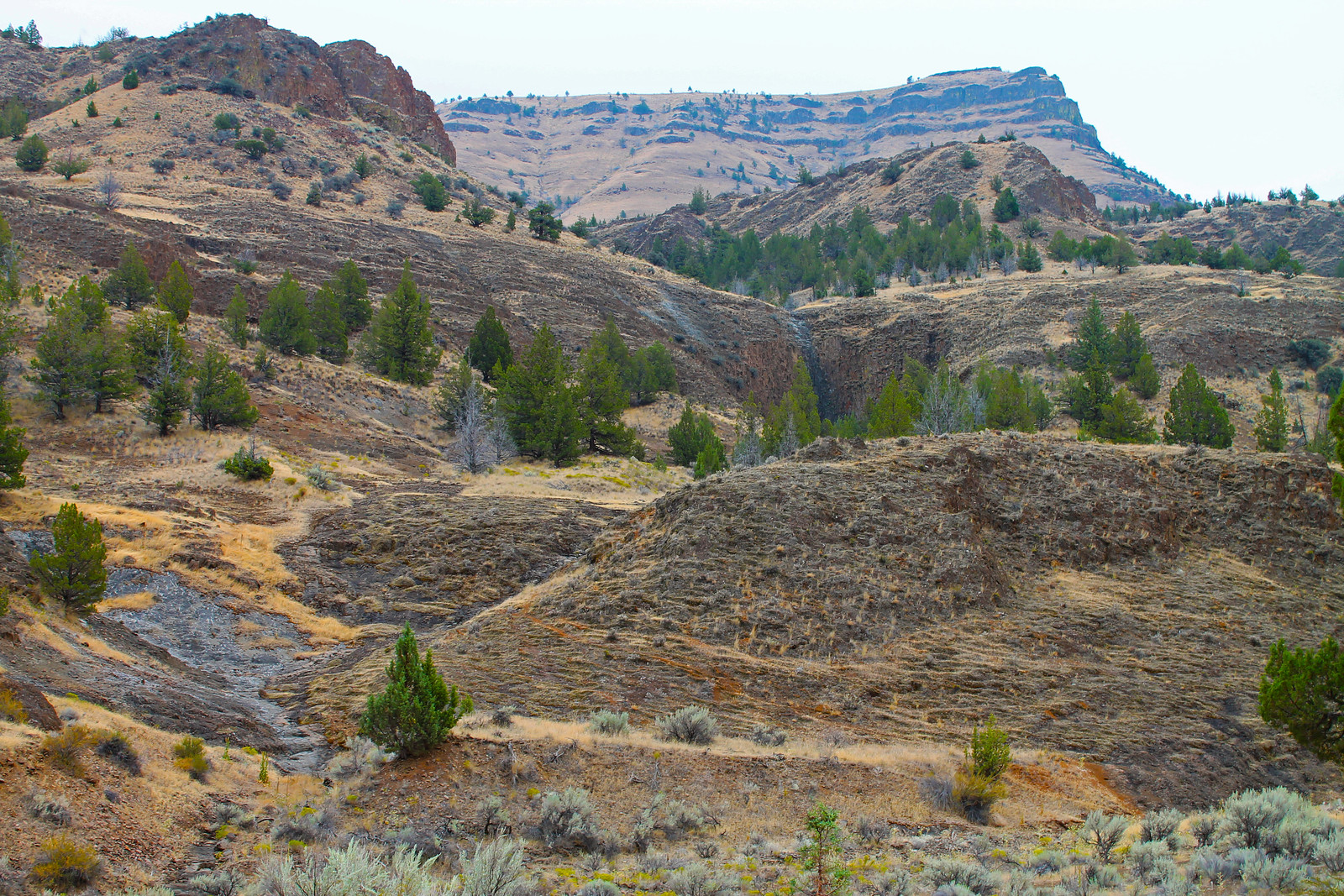 Free to camp
Sutton Mountain and Pat's Cabin Wilderness Study Areas
54 miles to Prineville
1,737 ft above sea level · open area
Free to camp
Sutton Mountain and Pat's Cabin Wilderness Study Areas
54 miles to Prineville
1,737 ft above sea level · open area
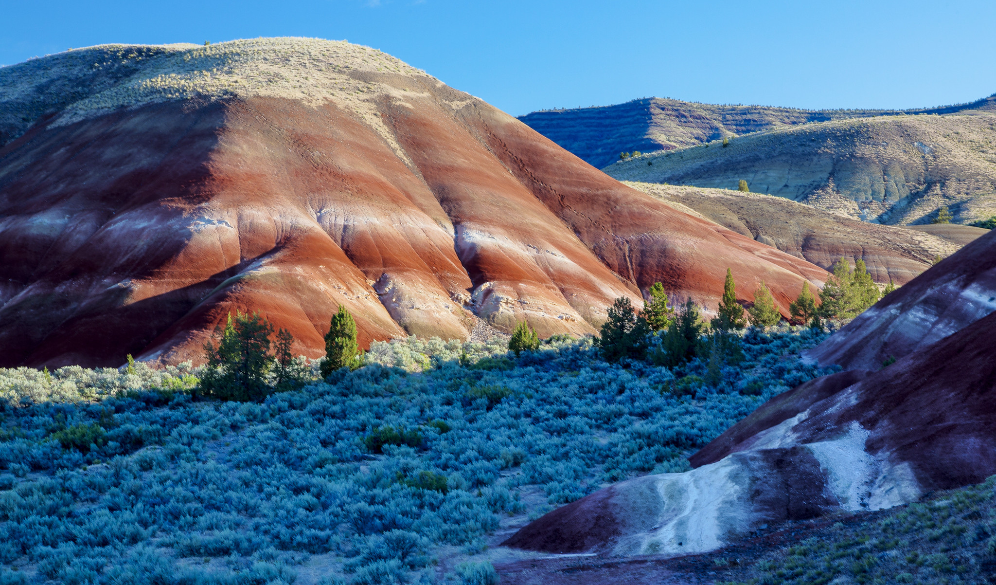 Camping fee unknown
Sutton Mountain Back Country Byway
57 miles to Juniper Canyon
2,772 ft above sea level · open area
Camping fee unknown
Sutton Mountain Back Country Byway
57 miles to Juniper Canyon
2,772 ft above sea level · open area
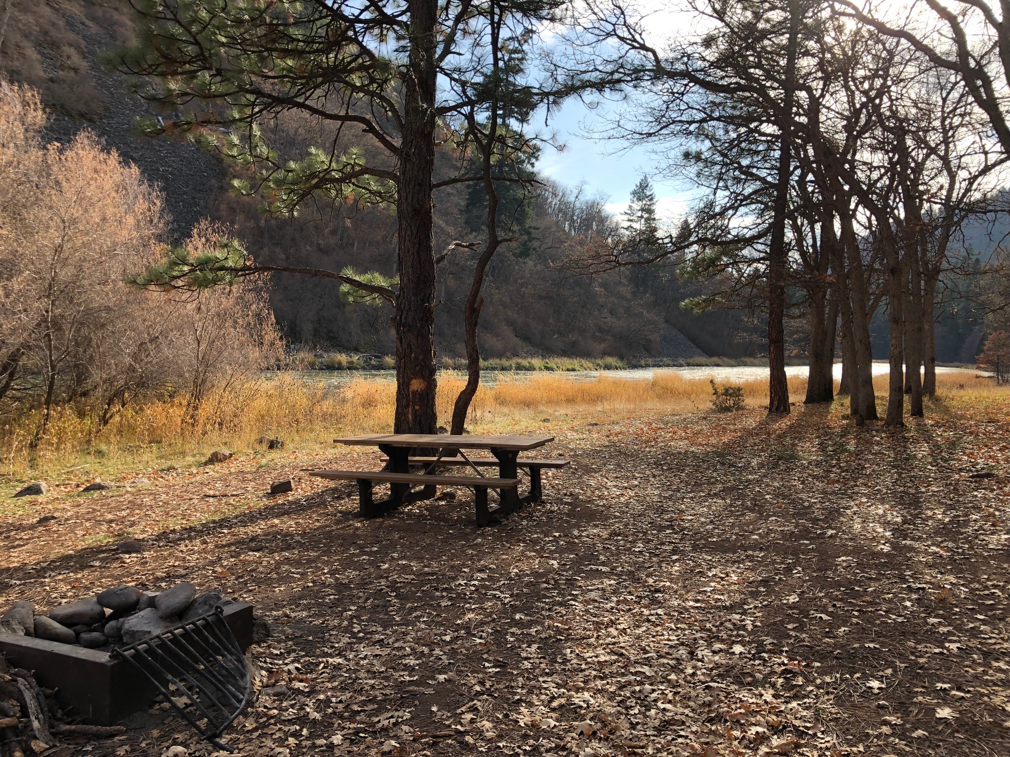 Free to camp
Upper Klamath Wild and Scenic River
13 miles to Keno
3,321 ft above sea level · open area
Free to camp
Upper Klamath Wild and Scenic River
13 miles to Keno
3,321 ft above sea level · open area
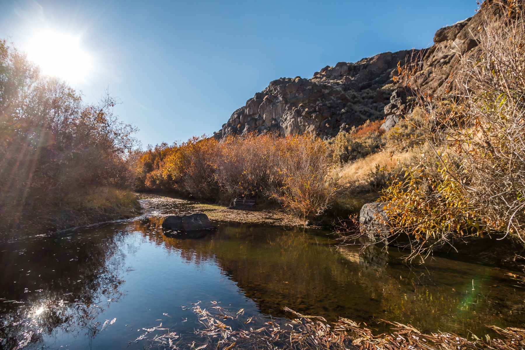 Camping fee unknown
West Little Owyhee Wild and Scenic River
349 miles to Owyhee
5,401 ft above sea level · open area
Camping fee unknown
West Little Owyhee Wild and Scenic River
349 miles to Owyhee
5,401 ft above sea level · open area