About this place
Bring your fishing gear and your raft, and bring the family, because there is something here for everyone.
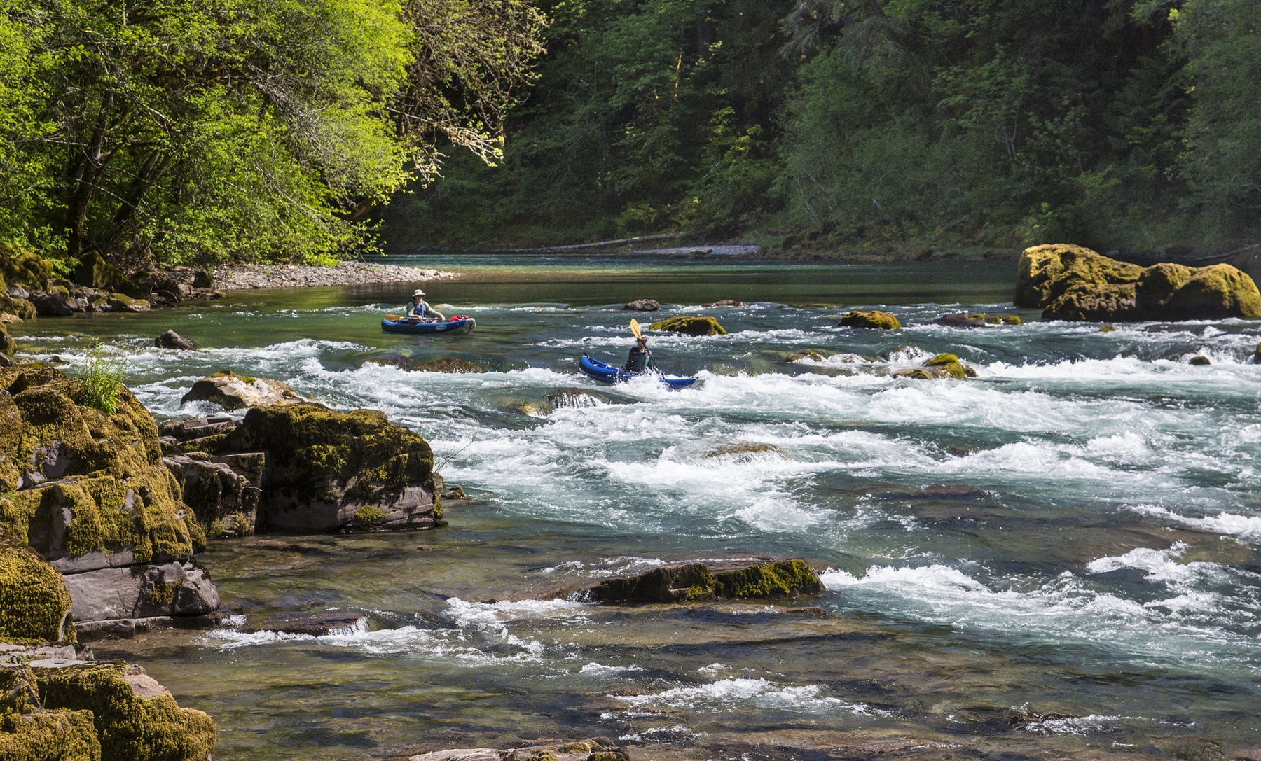
The North Umpqua Wild and Scenic River Corridor is known for its forest setting. The emerald green water of the North Umpqua runs through the middle of it.
Susan Creek Campground sits among old-growth trees. From there you can walk the 1.5 mile Emerald Trail along the river, or take the short trail up to Susan Creek Falls. That waterfall drops 50 feet.
Anglers come from all over the country to fly-fish here for salmon and steelhead.
The North Umpqua Trail runs 79 miles. That suits long walks and mountain bike trips.
Susan Creek Campground opens in late April and closes in late October.
Pets are allowed in the campground, on a leash of 6 feet or shorter.
There are 29 camping sites. 15 of them can be reserved for part of the year, through Recreation.gov.
The North Umpqua is a class III whitewater river. It demands your attention.
On this stretch of the river you may only fly-fish.
You can reach the North Umpqua Trail by crossing the Tioga Bridge, or at the Swiftwater day-use area.
The facts
- Cost
- Camping fee not confirmed
- Stay limit
- 14 days
- Type
- Open area. Camp anywhere within it
- Managed by
- Bureau of Land Management
Getting there
For the Susan Creek Recreation Area, go 29 miles east of Roseburg along Highway 138. There is a parking area at the Susan Creek day-use area, and that is where rafters put in. Across the road an easy 0.8 mile trail, suitable for wheelchairs, leads to the 50 foot Susan Creek Falls.
Coordinates 43.32071, -122.98872
Open in Google Maps Agency page
What is near here
There is another spot of ours within reach, and some better-known places further out.
- Toketee Falls Directions
- Watson Falls Directions
- Bohemia Mountain Directions
- Cow Creek Back Country Byway Directions
- Mount Thielsen Directions
Every distance on this page is the driving distance. A short distance can still take a long time. The road may be closed for the season, covered in snow, or washed out. Many of these roads are dirt. Plan your route before you leave home. Out here there is often no phone signal to look it up on the way.
Nearest town and supplies
- Glide, OR Directions
Glide is big enough that you’d normally expect fuel and somewhere to buy food. Nobody from here has been to check, so don’t count on it if you’re running low.
Have you been here?
Fees and access change, and the records do not always keep up. If you have been, tell us what you found.
Thank you, that is recorded. It helps the next person.
Add road notes for this site
The thing we cannot get from any government record is what the drive in is actually like. If you have done it, this is the most useful thing you can leave behind. We read everything before it appears, and we print a first name with it if you give one.
Thank you. A person will read it before it goes on the page.
Where this information comes from
The description on this page is ours. The facts in it, and the fee and facility details below it, come from the Bureau of Land Management’s own records, read in August 2026.