About this place
The Smith River rises in the Coast Range and runs about 50 miles west, into the Pacific Ocean just north of Reedsport.
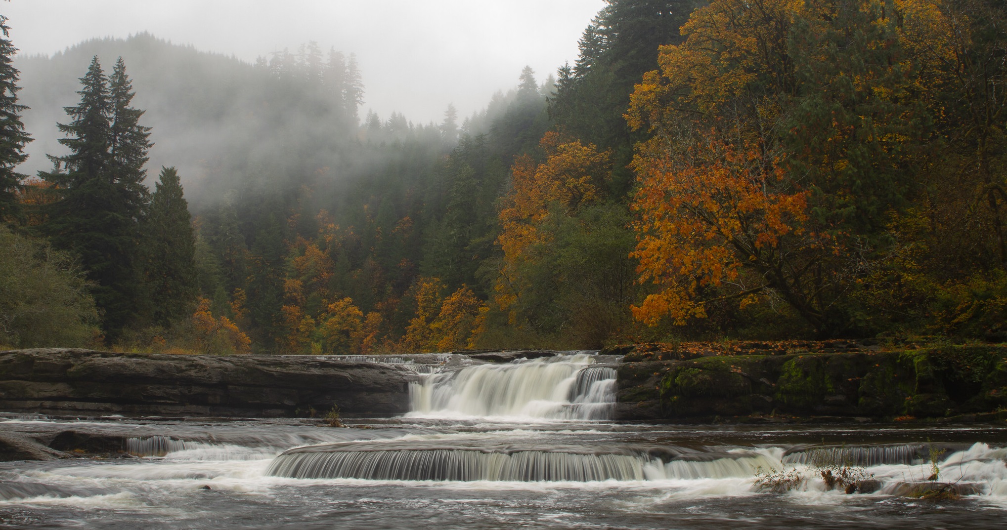
This site sits right beside the river, just above the falls.
The forest here is old growth and quiet. Good for a picnic, a paddle, some fishing, or watching for bald eagles.
It opens Memorial Day to September 30.
There are 10 campsites with picnic tables and fire rings, and they go first come, first served.
There are universal access restrooms and a boat launch. There is no drinking water.
The facts
- Cost
- Free to camp
- Stay limit
- 14 days
- Drinking water
- No, bring your own
- Toilet
- Yes, universal access restrooms
- Type
- Specific campsite
- When it’s open
- Memorial Day to September 30
- Managed by
- Bureau of Land Management
Getting there
Go a short way north out of Reedsport on U.S. Highway 101, then turn east onto Smith River Road. The site is 26.4 miles along.
Coordinates 43.790632, -123.813896
Open in Google Maps Agency page
What is near here
Nothing nationally famous is close. These are the landmarks nearby.
- Tahkenitch Lake Directions
- Jessie M. Honeyman Memorial State Park Directions
- Cleawox Lake Directions
- Siltcoos Lake Directions
Every distance on this page is the driving distance. A short distance can still take a long time. The road may be closed for the season, covered in snow, or washed out. Many of these roads are dirt. Plan your route before you leave home. Out here there is often no phone signal to look it up on the way.
Nearest town and supplies
- Gardiner, OR Directions
- Dunes City, OR Directions
Dunes City is big enough that you’d normally expect fuel and somewhere to buy food. Nobody from here has been to check, so don’t count on it if you’re running low.
Why “at least”: this route is hard to measure. We worked the drive out twice, with two separate mapping tools, and they gave different answers. That usually means there is no road close to the campsite, so the drive doubles back a long way. The figure above is the longer of the two. The real drive could be further still, so check the route before you set off.
Why the drive to town is usually twice what the map says — what we found measuring every campsite in this guide.
When it’s time to move on
You can camp here for 14 days. After that you have to move on, and the Bureau of Land Management usually wants you at least 25 to 30 miles away. So the free campsites closest to you are the ones you cannot use.
Two in this guide sit inside that 25 miles. The nearest one you could move to is Hult Dam & Reservoir, Oregon — 35 miles in a straight line, but at least a 69 mile drive.
Why “at least”: there is no road right at this campsite, so the drive is hard to measure and the real one could be further. Check the route before you set off.
This guide covers five states and does not list every free campsite, so there may be something closer that we do not hold. Check this site’s own rule before you rely on it.
Have you been here?
Fees and access change, and the records do not always keep up. If you have been, tell us what you found.
Thank you, that is recorded. It helps the next person.
Add road notes for this site
The thing we cannot get from any government record is what the drive in is actually like. If you have done it, this is the most useful thing you can leave behind. We read everything before it appears, and we print a first name with it if you give one.
Thank you. A person will read it before it goes on the page.
Where this information comes from
The description on this page is ours. The facts in it, and the fee and facility details below it, come from the Bureau of Land Management’s own records, read in August 2026.