Free camping in Utah
87 places on public land — 72 set campsites and 15 open areas you can camp anywhere within. 28 are confirmed free.
People arrive in Utah expecting heat and go home remembering the cold nights. This is high desert. The kind people picture is the low kind. Nearly every place on this page is above 5,000 feet, and a good many are above 7,000. The famous heat sits down in the canyons. The camping is mostly up on the flat land above them, where the air is thin and the temperature drops quickly once the sun goes.
Most of this land is not forest. It is open country: bare rock, juniper and sage, with a very long view in almost every direction. It is also the one state where free camping and the famous scenery are the same trip. Zion is within an easy drive of a good number of these sites, and Capitol Reef is close to several more. The town of Kanab is the most useful base.
Two things to be straight about. Utah is where the agencies say the least. Most sites here have no fee written down anywhere. An empty box is not a price of zero, so check before you commit. And of the few where we know about facilities, none has drinking water and none has a toilet.
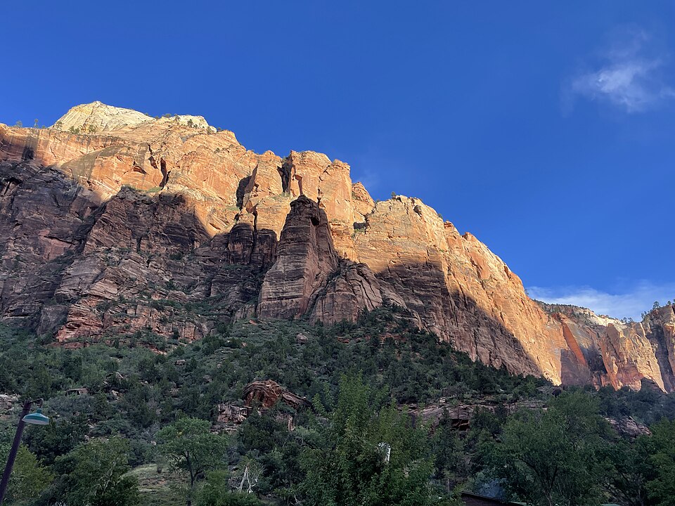
Going to see something famous?
Utah has five national parks. Four of them have free camping within reach on this page. Zion is the one most people come for, and it is also the best served. Canyonlands is the one that does not work. The nearest free place is more than 80 miles away from it.
- Zion National Park 21 places within 60 miles Closest is Hurricane Cliffs Designated Dispersed Camping Area, about 20 miles away
- Bryce Canyon National Park 4 places within 60 miles Closest is Uinta Flat Designated Dispersed Camping Area, about 45 miles away
- Capitol Reef National Park 5 places within 60 miles Closest is Sevier River, about 25 miles away
- Arches National Park 2 places within 60 miles Closest is Big Bend Recreation Site, about 20 miles away
- Great Basin National Park 5 places within 60 miles Closest is Conger Mountain, about 40 miles away
- Cedar Breaks National Monument 6 places within 60 miles Closest is Yankee Designated Dispersed Camping Area, about 20 miles away
- The Wave 8 places within 60 miles Closest is Vermilion Cliffs National Monument, about 15 miles away
Important Note: Distances are along the road and rounded. Each landmark is pinned to a single point on the map. With a big park that point sits somewhere in the middle of it, so the entrance you actually drive to could be a fair bit closer than the number here.
Where in Utah?
Pick a town to see only the places near it. They are grouped by the nearest town that has fuel and a shop, because that is the thing you plan a trip around. Places marked open area are public land where you can camp anywhere inside the boundary, and there are 15 of them here. There is no one set spot to aim for.
Kanab 9
Closest town with fuel and a shop, about 5,291 people. These places are 2 to 19 road miles from it, closest first.
Monroe 7
Closest town with fuel and a shop, about 2,711 people. These places are 30 to 106 road miles from it, closest first.
Salina 6
Closest town with fuel and a shop, about 2,610 people. These places are 19 to 71 road miles from it, closest first.
Delta 5
Closest town with fuel and a shop, about 3,730 people. These places are 50 to 59 road miles from it, closest first.
Milford 5
Closest town with fuel and a shop, about 1,439 people. These places are 33 to 150 road miles from it, closest first.
Beaver 4
Closest town with fuel and a shop, about 3,749 people. These places are 20 to 57 road miles from it, closest first.
Grantsville 4
Closest town with fuel and a shop, about 15,682 people. These places are 15 to 57 road miles from it, closest first.
Maeser 4
Closest town with fuel and a shop, about 4,081 people. These places are 26 to 29 road miles from it, closest first.
Moab 4
Closest town with fuel and a shop, about 5,242 people. These places are 11 to 58 road miles from it, closest first.
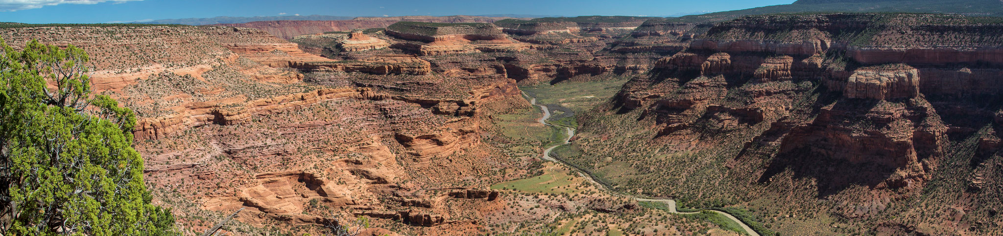 Camping fee unknown
Dolores River (UT)
58 miles to Moab
4,556 ft above sea level
Camping fee unknown
Dolores River (UT)
58 miles to Moab
4,556 ft above sea level
Burley 3
Closest town with fuel and a shop, about 12,211 people. These places are 69 to 143 road miles from it, closest first.
La Verkin 3
Closest town with fuel and a shop, about 4,529 people. These places are 6 to 16 road miles from it, closest first.
Wendover 3
Closest town with fuel and a shop, about 1,133 people. These places are 8 to 57 road miles from it, closest first.
Blanding 2
Closest town with fuel and a shop, about 3,216 people. These places are 39 to 87 road miles from it, closest first.
Hildale 2
Closest town with fuel and a shop, about 1,261 people. These places are 0 to 57 road miles from it, closest first.
Malad City 2
Closest town with fuel and a shop, about 2,326 people. These places are 88 road miles from it, closest first.
Panguitch 2
Closest town with fuel and a shop, about 1,788 people. These places are 36 to 90 road miles from it, closest first.
Parowan 2
Closest town with fuel and a shop, about 3,283 people. These places are 9 to 40 road miles from it, closest first.
West Wendover 2
Closest town with fuel and a shop, about 4,528 people. These places are 62 to 89 road miles from it, closest first.
Elsewhere in Utah 18
Each of these is on its own. No other free camping we know of shares its nearest town.