About this place
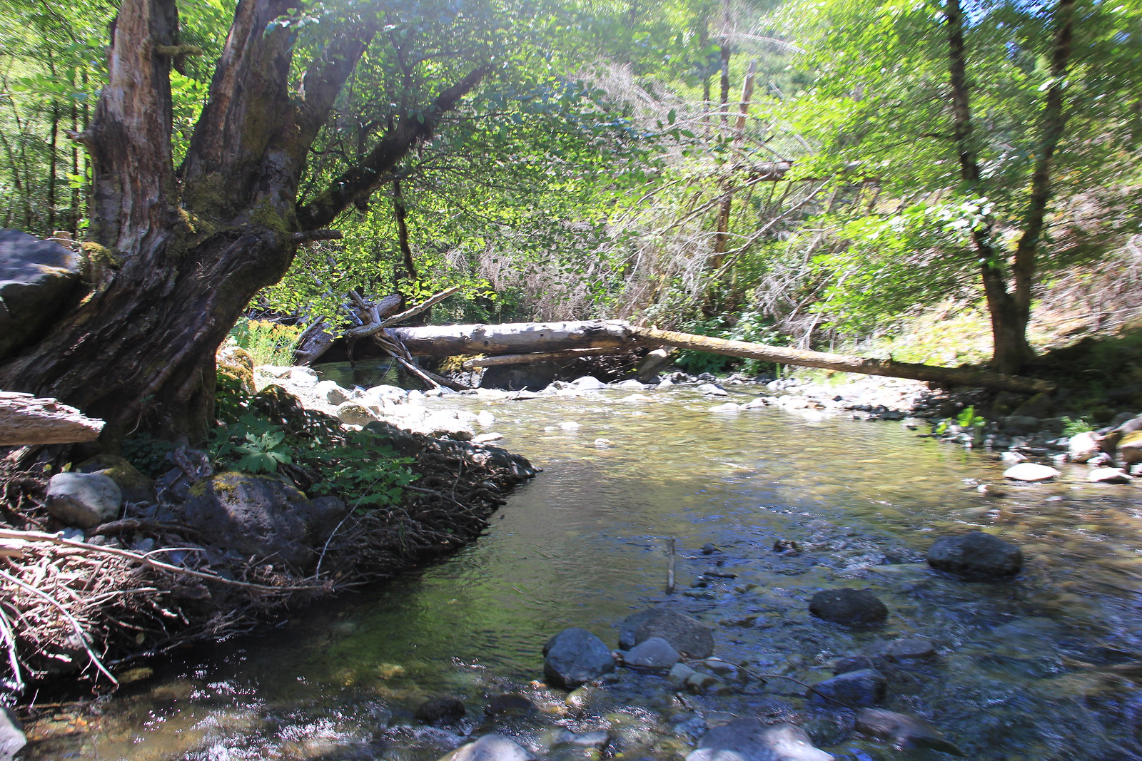
The Mule Creek trail runs through the Wild Rogue Wilderness, along vertical bluffs high above the Mule Creek and East Fork Mule Creek canyons.
It was built in the early 1900s. Miners and early settlers used it as a pack trail to get supplies into the backcountry.
The Forest Service used it too, to reach the lookout tower at Hanging Rock and the guard station at Marial.
There is history here, and scenery, wildflowers and wildlife.
Spring and fall are the best times to walk it. Summer temperatures reach 100 degrees on the south-facing slopes.
Camping along the trail is at sites with nothing marked out.
Carry water. There is water near the south trailhead at the Rogue River Ranch.
The water at Tucker Flat Campground is not safe to drink, and there is no spring water at the north trailhead.
The north end joins the Panther Ridge trail, Forest Service trail #1253. The south end is half a mile from the Rogue River Ranch.
From Tucker Flat Campground the trail climbs about 3000 vertical feet over 6.5 miles.
Tucker Flat has no host and six campsites, with no hook-ups and no drinking water. It is open all year, first come, first served, with pit toilets and picnic tables. It sits on the Grave Creek to Marial Back Country Byway.
The Wild Rogue Wilderness covers 35,221 acres. The Forest Service and the Bureau of Land Management manage it together.
The Rogue River National Recreation Trail runs 40 miles, and you can join it near Tucker Flat Campground.
The facts
- Cost
- Free to camp
- Stay limit
- 14 Days in a single location.
- Drinking water
- No treated supply. The water at Tucker Flat is not potable, and the north trailhead has no spring water
- Toilet
- Yes, pit toilets at Tucker Flat Campground
- Type
- Open area. Camping along the trail is at dispersed sites
- When it’s open
- All year
- Managed by
- Bureau of Land Management
Getting there
North end, coming from the west: from Gold Beach on SR 101, take County Road 595 east to Forest Service Road 33. Stay on FS road 33 to FS road 3310, then follow that to FS road 3340. On FS road 3340, head northwest until it rejoins FS road 33. Turn right at the junction with FS road 3348 and carry on to the Buck Creek campground. Turn right there onto FS road 5520, which leads to the parking area for the trail.
North end, coming from the east: leave Interstate 5 at the Glendale exit and go west into town. Head northwest on County road 27, which becomes BLM road 33-7-2. Where Cow Creek and West Cow Creek roads meet, go left and follow West Cow Creek, BLM road 32-8-1.1. After about three and a half miles turn left onto the Bobby Creek Road, BLM road 32-8-9.2, and follow it up to Nine Mile Saddle. Go right onto the Kelsey Mule Road, BLM rd 32-8-3.1, through Anaktuvuk Saddle and west until it becomes Forest Service road 5520. Follow FS road 5520 to the parking area.
South end: leave Interstate 5 at the Merlin exit. Drive west on the Merlin-Galice Road for about 23 miles. Cross the Grave Creek Bridge onto the Mt. Reuben Road, BLM rd 34-8-2, and stay on it to the junction with the Kelsey Mule Road. Go left. About a quarter mile west, at Marial Saddle, go left onto Marial Road, BLM rd 32-9-14.2, following the signs to Tucker Flat Campground. The trailhead is at the back of the campground.
Coordinates 42.72166, -123.87822
Open in Google Maps Agency page
What is near here
There is another spot of ours within reach.
Every distance on this page is the driving distance. A short distance can still take a long time. The road may be closed for the season, covered in snow, or washed out. Many of these roads are dirt. Plan your route before you leave home. Out here there is often no phone signal to look it up on the way.
Nearest town and supplies
- Powers, OR Directions
- Merlin, OR Directions
Merlin is big enough that you’d normally expect fuel and somewhere to buy food. Nobody from here has been to check, so don’t count on it if you’re running low.
Have you been here?
Fees and access change, and the records do not always keep up. If you have been, tell us what you found.
Thank you, that is recorded. It helps the next person.
Add road notes for this site
The thing we cannot get from any government record is what the drive in is actually like. If you have done it, this is the most useful thing you can leave behind. We read everything before it appears, and we print a first name with it if you give one.
Thank you. A person will read it before it goes on the page.
Where this information comes from
The description on this page is ours. The facts in it, and the fee and facility details below it, come from the Bureau of Land Management’s own records, read in August 2026.