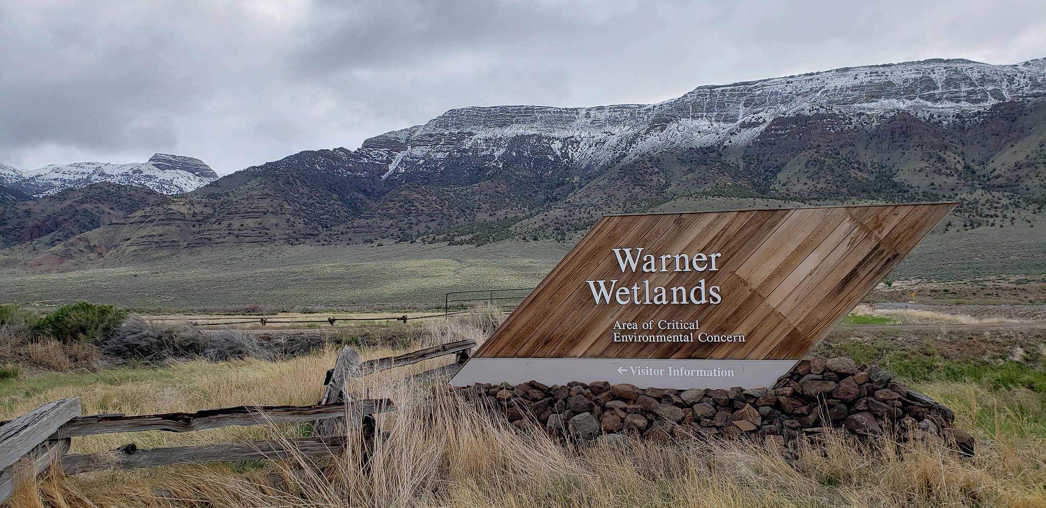
About this place
Giant faults in the earth’s crust shifted thousands of years ago, and what is left is the Warner Wetlands. It is a 40-mile chain of lakes, separated by an unusual set of bow-shaped dunes.
Thousands of birds stop here. They come every spring and fall, on migration.
There are three places built for visitors: the Hart Bar Interpretive Site, the Warner Valley Overlook and the Warner Valley Canoe Trail.
Hart Bar has restrooms, a sheltered picnic table, interpretive panels, and a 0.25 mile trail out to wildlife viewing blinds.
The overlook gives you the whole wetland at once, with desert buttes away to the west and south.
There is bird watching, hunting, fishing, camping and boating. Most of it depends on how much water is in the lakes, and that swings a long way.
Ask the Bureau of Land Management office at Lakeview for current lake levels before you plan a trip.
In wet years the ten-mile Warner Valley Canoe Trail opens. It is marked through the channels between Campbell, Turpin and Stone Corral Lakes, and it suits experienced paddlers only.
The facts
- Cost
- Free to camp
- Toilet
- Yes, at the Hart Bar Interpretive Site
- Type
- Specific campsite
- Managed by
- Bureau of Land Management
Getting there
From Lakeview, go north on U.S. Highway 395 for six miles, then east on Highway 140 for about 14 miles to County Road 3-13. Locally that is called the Plush Cutoff Road. Follow it 15 miles to Plush. From Plush, go north 0.8 miles and turn east on County Road 3-12. The Hart Bar Interpretive Site is about four miles along, at the foot of Hart Mountain.
Coordinates 42.44255, -119.82702
Open in Google Maps Agency page
What is near here
Nothing nationally famous is close. These are the landmarks nearby.
- Hart Mountain Directions
- Lake Abert Directions
- Goose Lake Directions
- Paisley Caves Directions
Every distance on this page is the driving distance. A short distance can still take a long time. The road may be closed for the season, covered in snow, or washed out. Many of these roads are dirt. Plan your route before you leave home. Out here there is often no phone signal to look it up on the way.
Nearest town and supplies
- Plush, OR Directions
- Lakeview, OR Directions
Lakeview is big enough that you’d normally expect fuel and somewhere to buy food. Nobody from here has been to check, so don’t count on it if you’re running low.
Have you been here?
Fees and access change, and the records do not always keep up. If you have been, tell us what you found.
Thank you, that is recorded. It helps the next person.
Add road notes for this site
The thing we cannot get from any government record is what the drive in is actually like. If you have done it, this is the most useful thing you can leave behind. We read everything before it appears, and we print a first name with it if you give one.
Thank you. A person will read it before it goes on the page.
Where this information comes from
The description on this page is ours. The facts in it, and the fee and facility details below it, come from the Bureau of Land Management’s own records, read in August 2026.