About this place
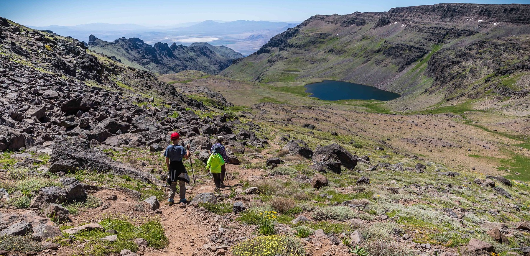
The Steens Mountain Cooperative Management and Protection Area covers about 500,000 acres of private and public land.
There is a lot in it. Deep glacier-carved gorges, wilderness, wild and scenic rivers, and a way of life for the people who live there.
The 52-mile Steens Mountain Backcountry Byway reaches four campgrounds and a great many trails. It also reaches the Riddle Brothers Ranch National Historic District, and country where wild horses roam. There is fishing and hunting too.
Do not miss the views from the Kiger Gorge, East Rim, Big Indian Gorge, Wildhorse and Little Blitzen Gorge overlooks.
Distances between services are long. That means fuel, drinking water, restrooms and cell phone reception.
Most roads here are rough and primitive. Bring a high clearance or four wheel drive vehicle, on good tires.
The country is remote and vast, and even experienced travelers get confused or lost in it. Carry a current map.
This is a mixture of public and private land, with specially designated areas where particular rules apply.
Obey road closure signs and stay on the open routes. Those are the ones shown on current Bureau of Land Management maps. Driving off road is prohibited.
Respect the landowners. Always ask permission before going onto private property.
The facts
- Cost
- Free to camp on the open land, paid campground inside
- Roads around it
- Most are rough and primitive. High clearance or four-wheel drive, on good tires
- Stay limit
- 14 days
- Drinking water
- No supply here. The nearest drinking water is a long way off
- Phone signal
- Reception is a long way apart
- Type
- Specific campsite
- Managed by
- Bureau of Land Management
Getting there
From Burns, take State Highway 78 southeast for about 2 miles. Turn right onto State Highway 205 and go south 60 miles to Frenchglen. Just past Frenchglen, turn left onto the Steens Mountain Loop Road.
Coordinates 43.09296, -118.77731
Open in Google Maps Agency page
What is near here
A few more of our own spots are within reach of this one, along with some better-known places.
- Diamond Craters Directions
- Malheur National Wildlife Refuge Directions
- Malheur Lake Directions
- Donner und Blitzen Wild and Scenic River Directions
- Kiger Creek Wild and Scenic River Directions
Every distance on this page is the driving distance. A short distance can still take a long time. The road may be closed for the season, covered in snow, or washed out. Many of these roads are dirt. Plan your route before you leave home. Out here there is often no phone signal to look it up on the way.
Nearest town and supplies
- Crane, OR Directions
- Hines, OR Directions
Hines is big enough that you’d normally expect fuel and somewhere to buy food. Nobody from here has been to check, so don’t count on it if you’re running low.
Have you been here?
Fees and access change, and the records do not always keep up. If you have been, tell us what you found.
Thank you, that is recorded. It helps the next person.
Add road notes for this site
The thing we cannot get from any government record is what the drive in is actually like. If you have done it, this is the most useful thing you can leave behind. We read everything before it appears, and we print a first name with it if you give one.
Thank you. A person will read it before it goes on the page.
Where this information comes from
The description on this page is ours. The facts in it, and the fee and facility details below it, come from the Bureau of Land Management’s own records, read in August 2026.