About this place
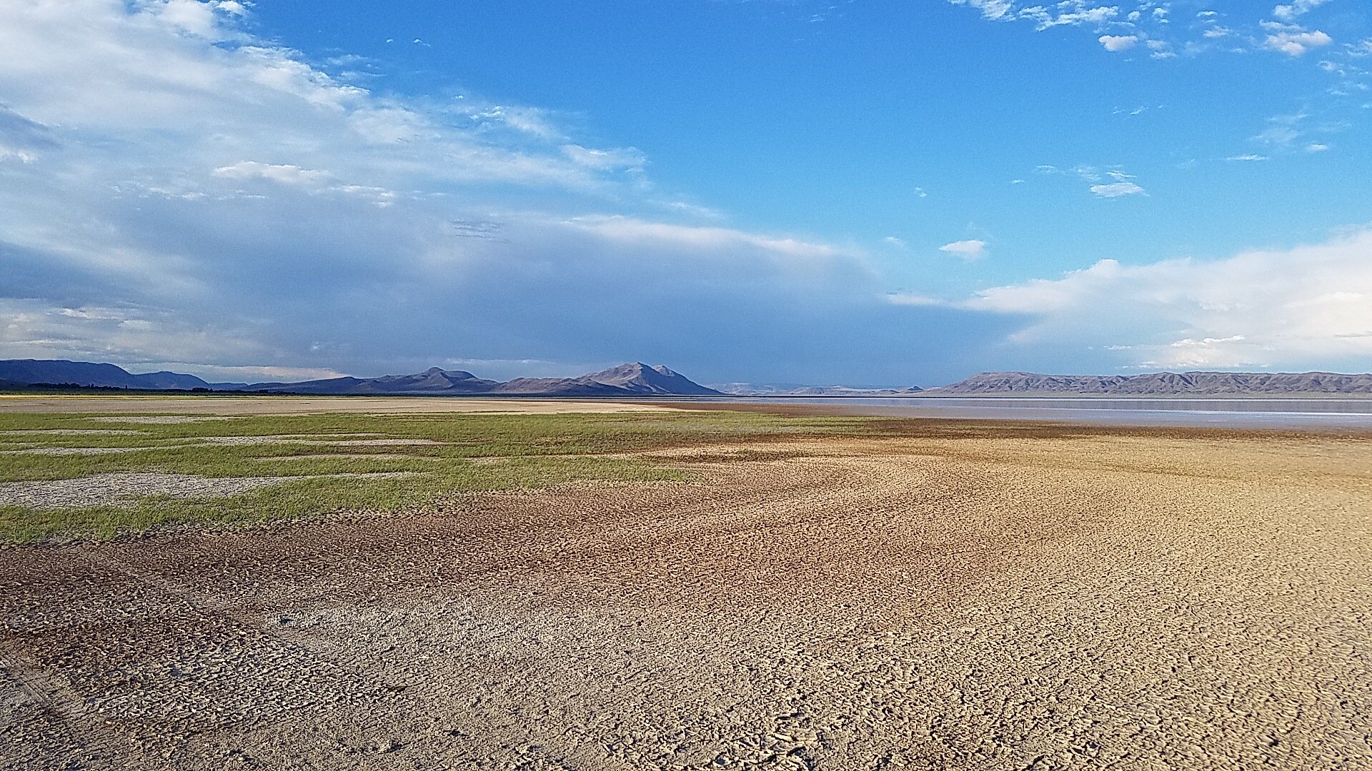
Steens Mountain stands to the west. To the east the salt flats of the Alvord Desert open out and shimmer.
Tens of thousands of years ago a lake almost 200 feet deep sat here, reaching south into Nevada.
The old shoreline is still visible as terraces along the edge of the valley. Far below the desert floor lie the same lava flows that cap Steens Mountain.
A playa is a flat lake bed that fills and dries out with the seasons, and this is one of the largest in Oregon. It measures six miles wide and 11 miles long.
That is a great deal of room for a tent and a look at the stars.
People come to land sail, fly gliders, kiteboard on land and camp, among plenty of other things.
You can get here all year. June through November is when the playa is usually dry enough to drive on.
Do not drive anywhere wet, or anywhere that even looks slightly wet.
The playa is made of fine clay. Damp, it turns incredibly slick.
What looks like a harmless puddle becomes thick, sticky mud that traps a vehicle with almost no warning.
Getting stuck out here is serious, and a tow from somewhere this remote costs a great deal. If you are in doubt, stay off.
There is no drinking water, no cell phone service and no marked camping. Bring your own comforts and plan for bare, open ground.
Bring shade, shelter and water, and tie everything down. Strong winds are common and the weather turns without warning.
The nearest town is Fields, about an hour south. There is food and fuel there, though you should contact the Fields Station to check the hours.
One vault restroom at Frog Springs, squeezed between the playa and East Steens Road, is the only public facility as far as you can see. There is nothing else.
There are hot springs in the area, some public and some private.
Borax Lake covers 10 acres and has a hot spring beside it. You cannot swim there. The whole area is a biological reserve.
Borax Lake is what remains of a much larger lake system that once spread across southeastern Oregon.
The water carries an unusually high load of dissolved borate, and the endangered Borax Lake chub lives in it anyway.
Mickey Hot Springs is about 15 miles northeast of the Alvord Desert and is well worth the drive.
The pools there are far too hot to sit in, so keep children and pets well back. A short walk takes you past steam vents, boiling mud pots and several crystal-blue pools.
The facts
- Cost
- Free to camp
- Roads around it
- Fine when dry. The clay turns slick and traps vehicles when wet
- Drinking water
- No, bring your own
- Toilet
- Yes, one vault restroom at Frog Springs
- Phone signal
- No signal
- Type
- Open area. Nothing is marked out
- When it’s open
- All year, though June to November is when the playa is usually dry enough to drive on
- Managed by
- Bureau of Land Management
Rules and restrictions
- Take out everything you brought in, and that includes human and pet waste. Packing it out means all the way out, back to where you came from.
- Some events need a special recreation permit. A wedding, a race or speed event, an overland vehicle rally, a light show or any other large gathering all count.
- A photography shoot with people or props may need a film permit. So does filming a commercial, an advertisement or a movie clip on public land.
Getting there
From Burns, head southeast on State Highway 78 for about 65 miles. Turn right, south, onto the East Steens Road, also called Folly Farm Road, and go southwest about 40 miles. Turn left, east, onto the Frog Springs Access Road to get onto the playa.
Coordinates 42.55979, -118.53283
Open in Google Maps Agency page
What is near here
Nothing nationally famous is close. These are the landmarks nearby.
- Mann Lake Directions
- Borax Lake Directions
- Pueblo Mountain Directions
Every distance on this page is the driving distance. A short distance can still take a long time. The road may be closed for the season, covered in snow, or washed out. Many of these roads are dirt. Plan your route before you leave home. Out here there is often no phone signal to look it up on the way.
Nearest town and supplies
- Fields, OR Directions
- Hines, OR Directions
Hines is big enough that you’d normally expect fuel and somewhere to buy food. Nobody from here has been to check, so don’t count on it if you’re running low.
Have you been here?
Fees and access change, and the records do not always keep up. If you have been, tell us what you found.
Thank you, that is recorded. It helps the next person.
Add road notes for this site
The thing we cannot get from any government record is what the drive in is actually like. If you have done it, this is the most useful thing you can leave behind. We read everything before it appears, and we print a first name with it if you give one.
Thank you. A person will read it before it goes on the page.
Where this information comes from
The description on this page is ours. The facts in it, and the fee and facility details below it, come from the Bureau of Land Management’s own records, read in August 2026.