About this place
Sutton Mountain covers 28,872 acres and Pats Cabin covers 9814. Both are public land in Wheeler County.
Congress is considering both for wilderness designation. Until it decides, the Prineville District of the Bureau of Land Management keeps them fit to be wilderness.
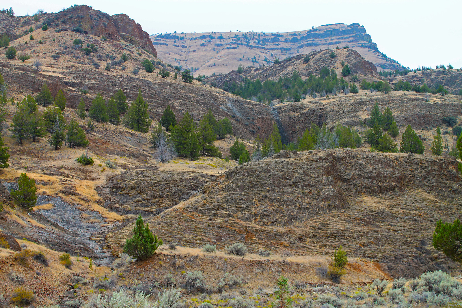
The two areas form part of the eastern backdrop to the Painted Hills unit of the John Day Fossil Beds.
From the top you can see the Painted Hills, the Cascades from Jefferson to Adams, and the rimrock country of the John Day.
The plants are mostly western juniper and sagebrush. In spring, wildflowers come out in the open meadows.
Look carefully below the summit, along the east ridge, and you may find a few Simpson’s hedgehog cactus.
Pronghorn, deer and elk live here.
Solitude is easy to find. There is something here for the adventurous and for the quiet alike.
Access points for both areas are along the Sutton Mountain Back Country Byway.
This is primitive. There are no campgrounds and no restrooms at any access point.
Leave no trace.
There is walking, backpacking and hunting, and plenty of solitude.
The base of Sutton Mountain, 4694 feet, is volcanic ash and pyroclastic flows of the John Day Formation.
Picture Gorge Basalt caps it. That basalt flowed from fissures near the town of Monument about 16 million years ago.
The John Day Formation is the same one that holds the fossils of the John Day Fossil Beds. It holds the colored old soils of the Painted Hills too.
The facts
- Cost
- Free to camp
- Stay limit
- 14 days
- Toilet
- No. There are no restrooms at any access point
- Type
- Open area. Camp anywhere within it
- Managed by
- Bureau of Land Management
Getting there
Both study areas are reached from the Sutton Mountain Backcountry Byway, a 41-mile loop that can be driven either way round. Start on State Highway 26 about 3 miles west of Mitchell. Head north on Bridge Creek Road, past the Painted Hills, for about nine miles. Bear right toward Priest Hole onto the Twickenham/Bridge Creek Cutoff Road, and stay on it for about 15 miles. Finally head south on Highway 207 until it meets Highway 26, .5 miles west of Mitchell.
Coordinates 44.695562, -120.284509
Open in Google Maps Agency page
What is near here
A few more of our own spots are within reach of this one, along with some better-known places.
- Painted Hills Directions
- Sutton Mountain Back Country Byway Directions
- John Day Fossil Beds National Monument Directions
- John Day Wild and Scenic River Directions
- Grizzly Mountain Directions
Every distance on this page is the driving distance. A short distance can still take a long time. The road may be closed for the season, covered in snow, or washed out. Many of these roads are dirt. Plan your route before you leave home. Out here there is often no phone signal to look it up on the way.
Nearest town and supplies
- Mitchell, OR Directions
- Prineville, OR Directions
Prineville is big enough that you’d normally expect fuel and somewhere to buy food. Nobody from here has been to check, so don’t count on it if you’re running low.
Have you been here?
Fees and access change, and the records do not always keep up. If you have been, tell us what you found.
Thank you, that is recorded. It helps the next person.
Add road notes for this site
The thing we cannot get from any government record is what the drive in is actually like. If you have done it, this is the most useful thing you can leave behind. We read everything before it appears, and we print a first name with it if you give one.
Thank you. A person will read it before it goes on the page.
Where this information comes from
The description on this page is ours. The facts in it, and the fee and facility details below it, come from the Bureau of Land Management’s own records, read in August 2026.