About this place
This is 41 miles of scenic backcountry in central Oregon.
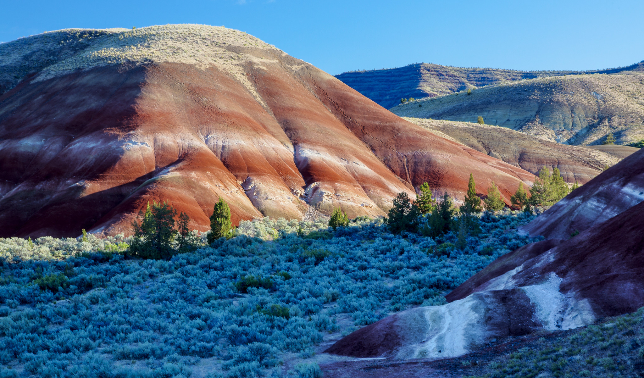
There are the orange and red clay mounds of the Painted Hills. There is emerald-green lichen on the rock walls of Girds Creek Canyon, high enough that you crane your neck for it. There are the high desert cliffs of Sutton Mountain, close up.
You can stick to the byway, or walk the trails, or find the historic corrals left from the early ranching days.
Stop for lunch at Priest Hole, on the banks of the John Day River.
Camp under a night sky with nothing in the way of it.
It is a photographer’s country.
The byway is open all year, to motorcycles, vehicles and bicycles.
There are picnic tables, restrooms and drinking water at the Painted Hills National Monument, though the water is off in the winter months.
Fuel, food and lodging are in Mitchell, Oregon.
The Bureau of Land Management runs the Priest Hole Recreation Site, where there is primitive camping. A 1.4 mile spur road off the north side of the byway loop takes you in. There is a restroom and no water.
The byway passes the Painted Hills, one of the Seven Wonders of Oregon. Give yourself time for the colors, the fossils and the geology.
The facts
- Cost
- Camping fee not confirmed
- Drinking water
- Yes, at the Painted Hills National Monument, though not in winter
- Toilet
- Yes, at the Painted Hills and at the Priest Hole Recreation Site
- Type
- Open area. Camp anywhere within it
- When it’s open
- All year
- Managed by
- Bureau of Land Management
Getting there
The Sutton Mountain Backcountry Byway is a 41-mile loop and you can drive it either way round. From State Highway 26, about 3 miles west of Mitchell, head north on Bridge Creek Road, past the Painted Hills, for about nine miles. Keep right toward Priest Hole on the Twickenham/Bridge Creek Cutoff Road and follow that about 15 miles. Then head south on Highway 207 until you meet Highway 26 again, about 0.5 miles west of Mitchell.
Coordinates 44.567865, -120.156883
Open in Google Maps Agency page
What is near here
A few more of our own spots are within reach of this one, along with some better-known places.
- Painted Hills Directions
- Sutton Mountain and Pat's Cabin Wilderness Study Areas Directions
- John Day Fossil Beds National Monument Directions
- John Day Wild and Scenic River Directions
- Grizzly Mountain Directions
Every distance on this page is the driving distance. A short distance can still take a long time. The road may be closed for the season, covered in snow, or washed out. Many of these roads are dirt. Plan your route before you leave home. Out here there is often no phone signal to look it up on the way.
Nearest town and supplies
- Mitchell, OR Directions
- Juniper Canyon, OR Directions
Juniper Canyon is big enough that you’d normally expect fuel and somewhere to buy food. Nobody from here has been to check, so don’t count on it if you’re running low.
Have you been here?
Fees and access change, and the records do not always keep up. If you have been, tell us what you found.
Thank you, that is recorded. It helps the next person.
Add road notes for this site
The thing we cannot get from any government record is what the drive in is actually like. If you have done it, this is the most useful thing you can leave behind. We read everything before it appears, and we print a first name with it if you give one.
Thank you. A person will read it before it goes on the page.
Where this information comes from
The description on this page is ours. The facts in it, and the fee and facility details below it, come from the Bureau of Land Management’s own records, read in August 2026; opened and read by a person on 2026-08-27.