About this place
The camping season generally runs May to October.
You can reserve a site at one of the four campgrounds through Recreation.gov. For the sites you cannot reserve, pay on arrival using the Recreation.gov mobile app.
Download it before you get there. There is no cell reception in the drainage.
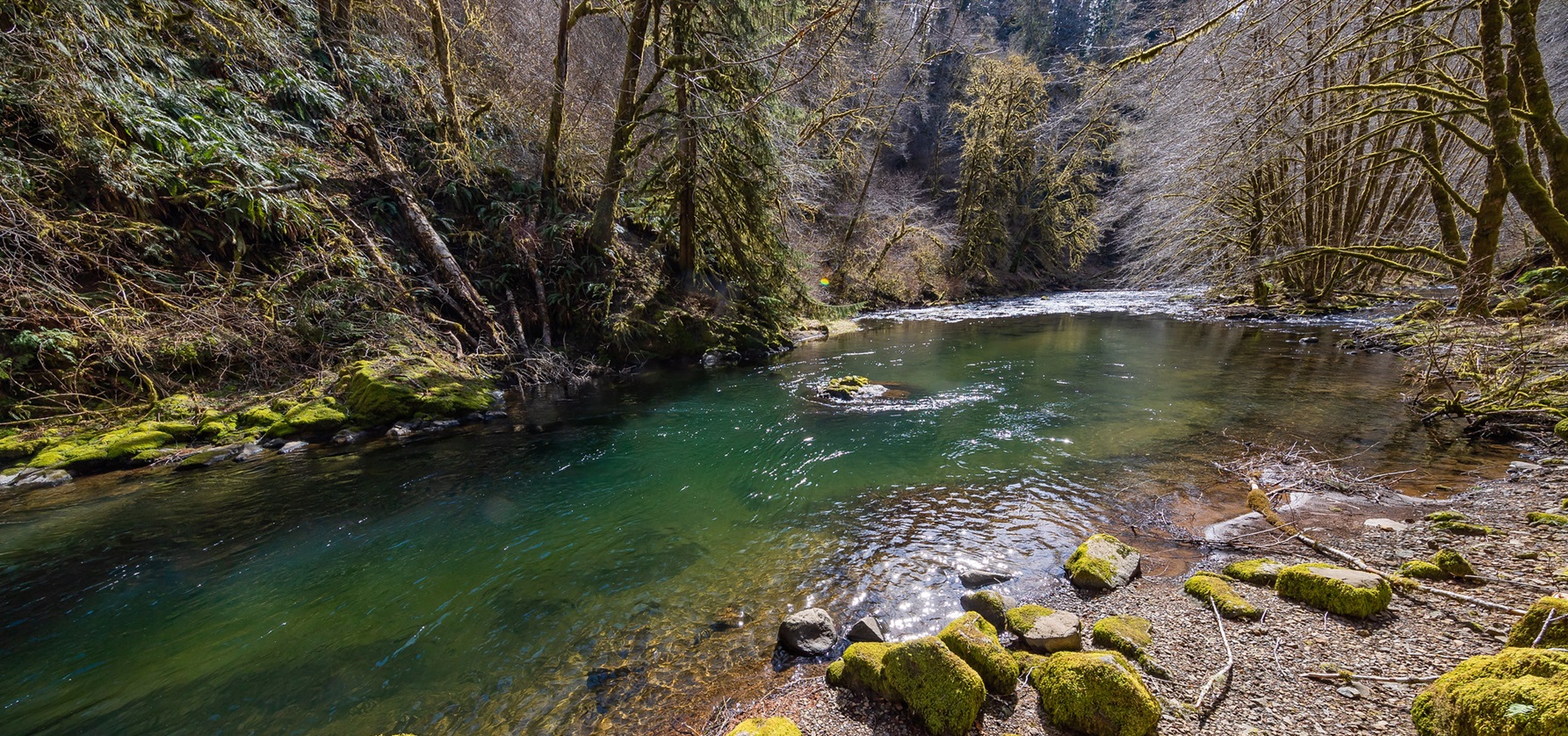
The Nestucca River Recreation Area takes you along a slow, easy route through Oregon’s Coast Range, on the Nestucca River National Back Country Byway.
The byway runs alongside the river.
By car, by motorcycle or by bicycle, you will find a riverside picnic table or a camping spot. Any of the four campgrounds along the route will do.
There are 37 campsites across the Alder Glen, Dovre, Fan Creek and Elk Bend Recreation Sites. They have steel fire rings, picnic tables, drinking water and restrooms.
Camping is limited to those four campgrounds.
Fires go in the steel fire rings or grills provided. You may not collect firewood at developed campgrounds.
Nobody collects trash here, so take everything home with you.
Log trucks use these roads all year, so take care.
The byway is open all year, but snow and ice can make it dangerous.
The Nestucca OHV Area sits within the byway and takes in Whipup Flat, Elk Flat and Grassy Flat. Oregon ATV permits are required.
The facts
- Cost
- Camping fee not confirmed
- Drinking water
- Yes, at the four campgrounds
- Toilet
- Yes, restrooms at the four campgrounds
- Phone signal
- None in the drainage
- Type
- Set campsites. Camping is limited to the Alder Glen, Dovre, Fan Creek and Elk Bend campgrounds
- When it’s open
- Camping is generally May to October. The byway is open all year, and snow and ice can make it hazardous
- Managed by
- Bureau of Land Management
Getting there
From Coastal Hwy 101 at Beaver, turn right onto Blaine Road and drive 7 miles to the Nestucca Byway.
From Willamina, the way runs Willamina Creek Road, Coast Creek Road, Gilbert Creek Road, Bald Mountain Access Road, Bible Creek Road, and then the Nestucca Byway.
From Carlton, take Meadow Lake Road west 12 miles and carry straight on onto the Nestucca Byway.
Coordinates 45.27803, -123.55287
Open in Google Maps Agency page
What is near here
Nothing nationally famous is close. These are the landmarks nearby.
- Fort Yamhill Directions
- Cape Lookout State Park Directions
- Ki-a-Kuts Falls Directions
- South Saddle Mountain Directions
Every distance on this page is the driving distance. A short distance can still take a long time. The road may be closed for the season, covered in snow, or washed out. Many of these roads are dirt. Plan your route before you leave home. Out here there is often no phone signal to look it up on the way.
Nearest town and supplies
- Beaver, OR Directions
- Willamina, OR Directions
Willamina is big enough that you’d normally expect fuel and somewhere to buy food. Nobody from here has been to check, so don’t count on it if you’re running low.
Have you been here?
Fees and access change, and the records do not always keep up. If you have been, tell us what you found.
Thank you, that is recorded. It helps the next person.
Add road notes for this site
The thing we cannot get from any government record is what the drive in is actually like. If you have done it, this is the most useful thing you can leave behind. We read everything before it appears, and we print a first name with it if you give one.
Thank you. A person will read it before it goes on the page.
Where this information comes from
The description on this page is ours. The facts in it, and the fee and facility details below it, come from the Bureau of Land Management’s own records, read in August 2026.