About this place
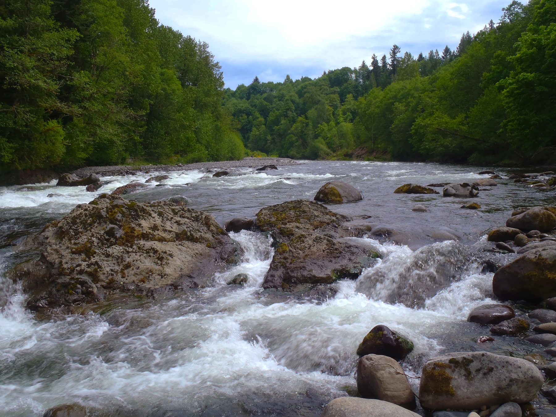
The Sandy River starts in the high glaciers of Mount Hood, the most prominent peak in Oregon’s Cascade Mountains.
Riverside trails give you scenery, geology you can see without digging for it, unusual plant communities and plenty to do.
Just outside Portland, the lower reaches run through a deep, winding, forested gorge. It is known for its runs of sea-going fish, its botanical range, its boating and its parks.
The Forest Service looks after the first 12.4-mile segment. The Bureau of Land Management manages the lower 12.5-mile section, between Dodge Park and Dabney Park.
Oxbow Park near Gresham is the place to see the wild and scenic stretch. The park sits on land leased from the Bureau of Land Management. There is a great deal to do there, on the water and off it.
The Sandy Ridge Trail System was built for mountain bikers, in the foothills of the Cascade Range.
It runs along a ridge just west of Mount Hood, above the river. The forest there is typical western Oregon: Douglas-fir, western hemlock, western red cedar and assorted hardwoods.
Do not move firewood. It can carry insects and diseases that threaten western forests, so buy and burn it near where you are camping.
The lower Sandy is an outstanding sport fishery. There is nature study, day use and boating without a motor.
It is close to Portland and it is nearly pristine. That is a rare combination.
The facts
- Cost
- Free to camp
- Stay limit
- 14 days
- Type
- Open area. Camp anywhere within it
- Managed by
- Bureau of Land Management
Getting there
Start where US-26 meets OR-212. Head east 0.7 miles on OR-212 E, also SE Compton Rd, toward SE 312th Ave, then keep following SE Compton Rd. Turn left onto Old Loop Rd, also SE Orient Dr, for 0.2 miles. Turn right onto SE Revenue Rd for another 1.9 miles. Carry on onto SE Pleasant Home Rd for 1.1 mile, then turn right onto SE Lusted Rd for 1.3 miles. Turn left onto SE Hosner Rd and go another 1.9 miles. Turn right onto SE Oxbow Park Rd. Oxbow Regional Park is 0.3 miles along.
Coordinates 45.50114, -122.30615
Open in Google Maps Agency page
What is near here
This is a good base for somewhere people travel a long way to see.
- Multnomah Falls Directions
- Bonneville Dam Directions
- Mount Hood Directions
- Columbia River Gorge Directions
Every distance on this page is the driving distance. A short distance can still take a long time. The road may be closed for the season, covered in snow, or washed out. Many of these roads are dirt. Plan your route before you leave home. Out here there is often no phone signal to look it up on the way.
Nearest town and supplies
- Orient, OR Directions
- Troutdale, OR Directions
Troutdale is big enough that you’d normally expect fuel and somewhere to buy food. Nobody from here has been to check, so don’t count on it if you’re running low.
Have you been here?
Fees and access change, and the records do not always keep up. If you have been, tell us what you found.
Thank you, that is recorded. It helps the next person.
Add road notes for this site
The thing we cannot get from any government record is what the drive in is actually like. If you have done it, this is the most useful thing you can leave behind. We read everything before it appears, and we print a first name with it if you give one.
Thank you. A person will read it before it goes on the page.
Where this information comes from
The description on this page is ours. The facts in it, and the fee and facility details below it, come from the Bureau of Land Management’s own records, read in August 2026; opened and read by a person on 2026-08-27.