About this place
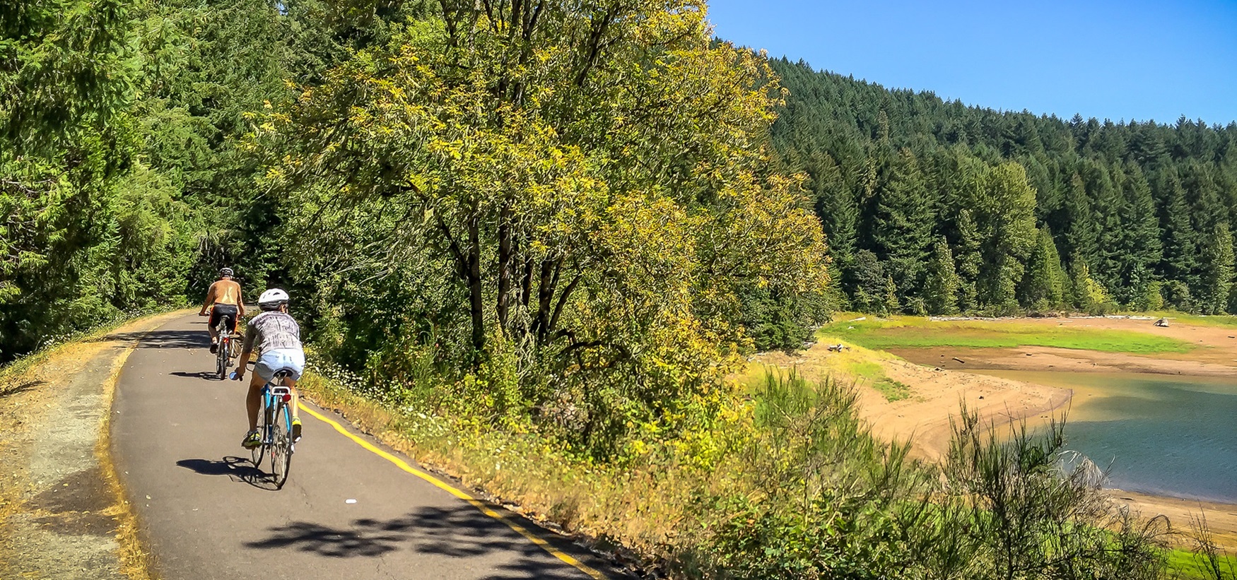
This is a 14-mile paved multi-use National Recreation Trail. It follows the route of the abandoned Oregon Pacific & Eastern Railroad line, along the shores of the Row River and Dorena Reservoir.
Say Row to rhyme with cow.
There are many trailheads, and many places to stop and look out over Dorena Lake and the farm country around it.
Several covered bridges stand nearby. So does the historic Bohemia Mining Area, where there are remnants of gold mines from the late 1800s.
The trestle bridge at Harms Park has been in the movies, and so have other spots along the railway.
Stand By Me was filmed here, with River Phoenix. So was Emperor of the North, with Ernest Borgnine. So was The General, with Buster Keaton, back in 1926.
No camping is allowed along the trail.
There is no food and no water on the trail. General stores are in Cottage Grove and in Dorena, across Row River Road from the trail. There is one in Culp Creek too, 0.25 mile east on Row River Road.
Parking and restrooms come at 2 to 3 mile intervals.
This is a day use area, open dawn to dusk.
Do not go into the old mine tunnels. They are dangerous, and they are on private property.
The Mosby Creek Covered Bridge sits just off the trail. It is white, it was built in 1920, and it was restored in 1990.
Row Point is a surviving remnant of native prairie, with showy wildflowers in spring.
The facts
- Cost
- Camping fee not confirmed
- Roads around it
- Paved
- Stay limit
- Day use only.
- Drinking water
- No, bring your own. There is no food or water on the trail
- Toilet
- Yes, restrooms every two to three miles along the trail
- Type
- Specific campsite
- When it’s open
- Day use only, dawn to dusk
- Managed by
- Bureau of Land Management
Getting there
From Eugene, take Interstate 5 south to the Cottage Grove exit, #174, and turn east onto Row River Road. Go 3.5 miles, then turn right onto Layng Road. The corner of Layng and Mosby Creek Roads is 1.2 miles along.
Coordinates 43.7768, -123.0083
Open in Google Maps Agency page
What is near here
Nothing nationally famous is close. These are the landmarks nearby.
- Bohemia Mountain Directions
- Swastika Mountain Directions
- Toketee Falls Directions
- Salt Creek Falls Directions
Every distance on this page is the driving distance. A short distance can still take a long time. The road may be closed for the season, covered in snow, or washed out. Many of these roads are dirt. Plan your route before you leave home. Out here there is often no phone signal to look it up on the way.
Nearest town and supplies
- Cottage Grove, OR Directions
Cottage Grove is big enough that you’d normally expect fuel and somewhere to buy food. Nobody from here has been to check, so don’t count on it if you’re running low.
Have you been here?
Fees and access change, and the records do not always keep up. If you have been, tell us what you found.
Thank you, that is recorded. It helps the next person.
Add road notes for this site
The thing we cannot get from any government record is what the drive in is actually like. If you have done it, this is the most useful thing you can leave behind. We read everything before it appears, and we print a first name with it if you give one.
Thank you. A person will read it before it goes on the page.
Where this information comes from
The description on this page is ours. The facts in it, and the fee and facility details below it, come from the Bureau of Land Management’s own records, read in August 2026.